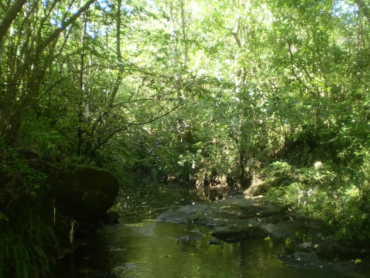
An optional side trip to Terrys Creek Waterfall.
| Turn map |
Directions & comments |
|
|

Start heading along Eastwood station.

Then head through the tunnel (about 10 m long)
|
|
|

Turn right.

Eastwood Park (about 95 m back from the start).

After 100 m pass a seat (8 m on your left).

After another 30 m pass the shelter (15 m on your left).
|
|
|

After another 8 m turn left, to head along Railway Parade.

After another 10 m pass the "Yogurberry" (20 m on your right).
After another 30 m pass the "Bou" (25 m on your right).
|
|
|
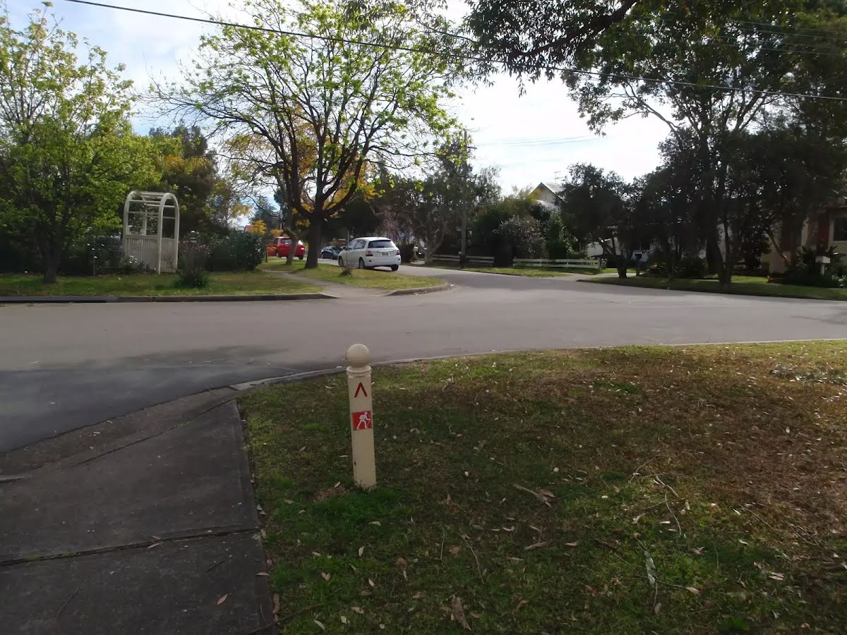
At the intersection of Ethel Street & Railway Parade turn right, to head along Ethel Street (a residential road).
After another 30 m pass the pay phone (9 m on your left).

After another 20 m (at the intersection of Ethel Street & Ethel Lane) continue straight, to head along Ethel Street.
After another 35 m pass the "Kuya Sushi Bar" (9 m on your right).
At the intersection of Station Lane & Ethel Street continue straight, to head along Ethel Street.
|
|
|
After another 250 m (at the intersection of Blaxland Road & Ethel Street) turn left, to head along Blaxland Road (a highway|primary).
After another 55 m (at the intersection of Blaxland Road & Ethel Lane) continue straight, to head along Blaxland Road.
After another 55 m (at the intersection of Blaxland Road & May Street) continue straight, to head along Blaxland Road.
After another 95 m (at the intersection of Blaxland Road & Lansdowne Street) continue straight, to head along Blaxland Road.
|
|
|
After another 125 m (at the intersection of Blaxland Road & Balaclava Road) turn right, to head along Balaclava Road (a road).
|
|
|
After another 10 m turn left.
|
|
|
After another 10 m turn right.
|
|
|
After another 25 m turn right.
|
|
|
After another 8 m turn left, to head along Vimiera Road.
After another 6 m pass the "Moore Park" (6 m on your right).
After another 15 m pass the shelter (40 m on your right).

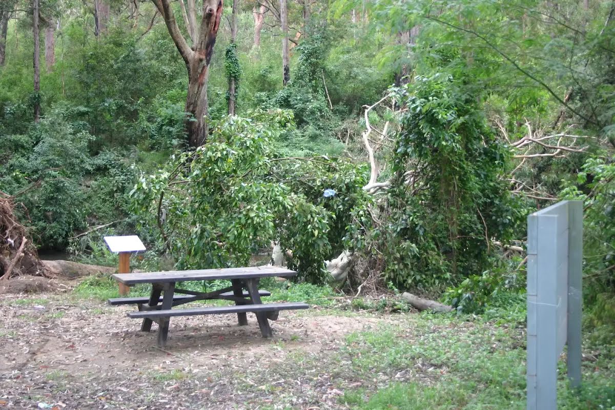
After another 75 m pass the picnic table (20 m on your right).

After another 45 m pass the BBQ (25 m on your right).
After another 55 m pass a seat (45 m on your right).
At the intersection of Vimiera Road & Bertram Street continue straight, to head along Vimiera Road.
After another 170 m (at the intersection of Vimiera Road & Vanimo Place) continue straight, to head along Vimiera Road.
|
|
|
After another 90 m turn left.

Then cross the bridge (about 30 m long)
After another 15 m pass the "Forrester Park" (40 m on your right).
|
|
|
At the intersection of Essex Street & Davis Avenue turn right, to head along Essex Street (a residential road).
After another 30 m pass the "Vimera Reserve" (15 m on your right).
|
|
|
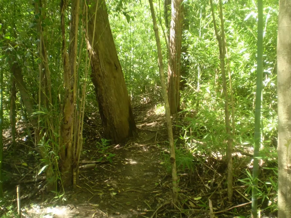
After another 25 m (at the intersection of Terrys Creek Track & Essex Street) turn right, to head along Terrys Creek Track (a walking track).

After another 110 m pass the sign (6 m on your left).
After another 10 m pass the sign (7 m on your left).
After another 750 m head into the "Forsyth Park".

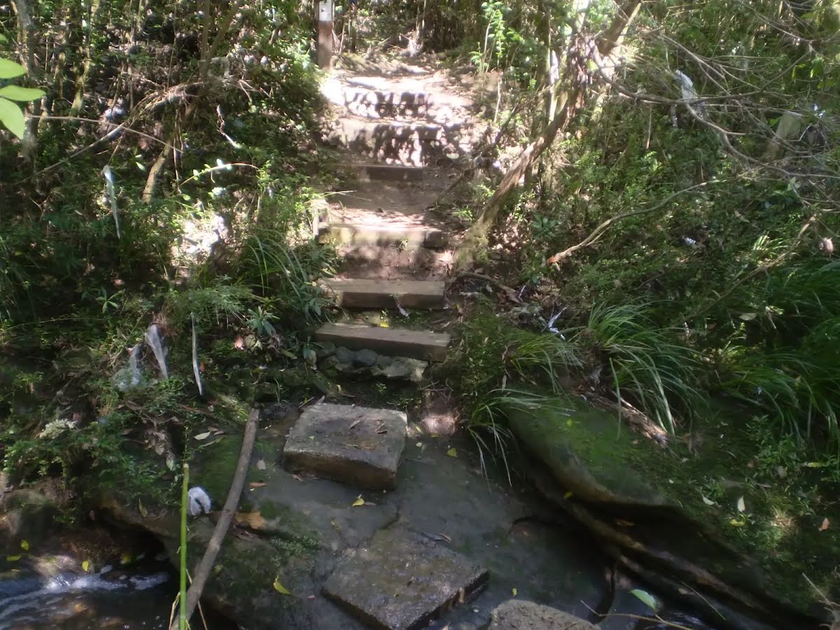
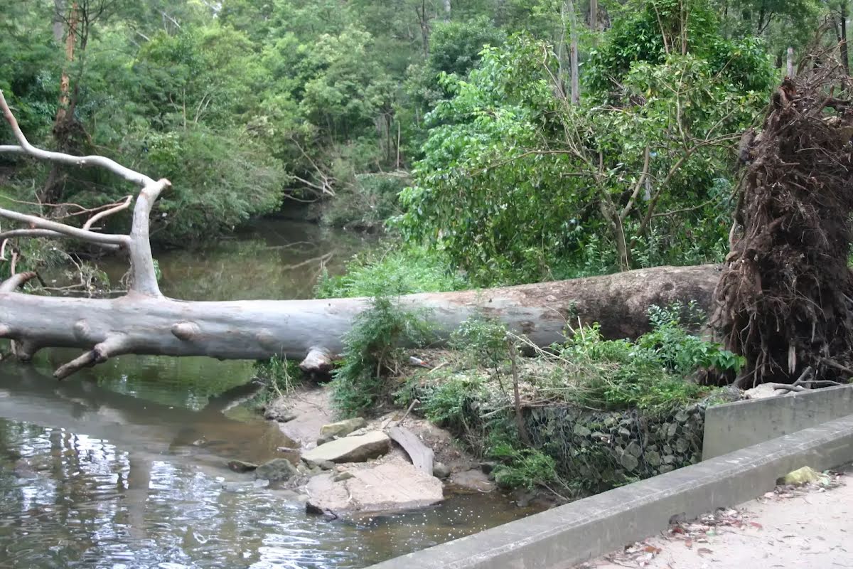
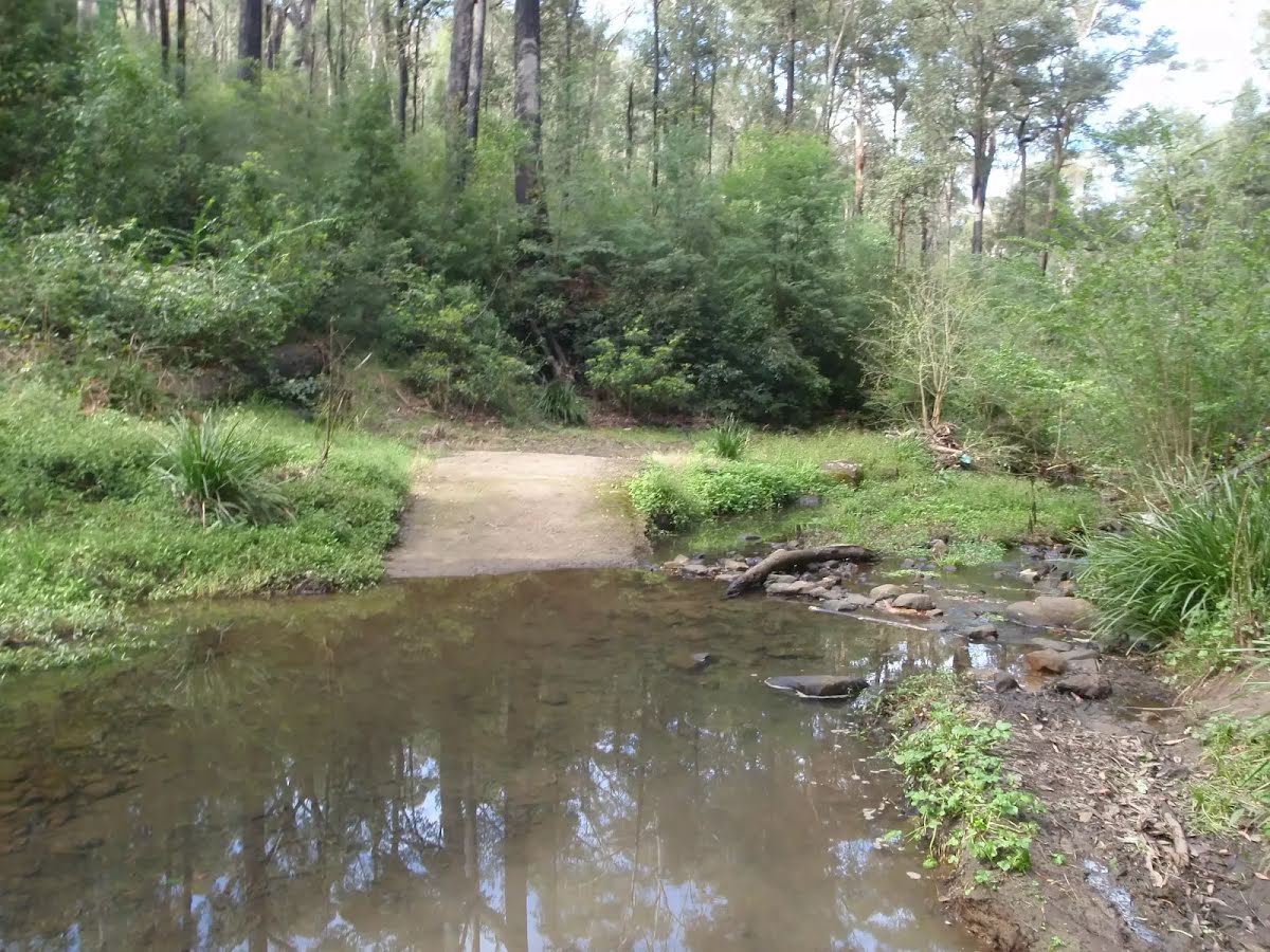
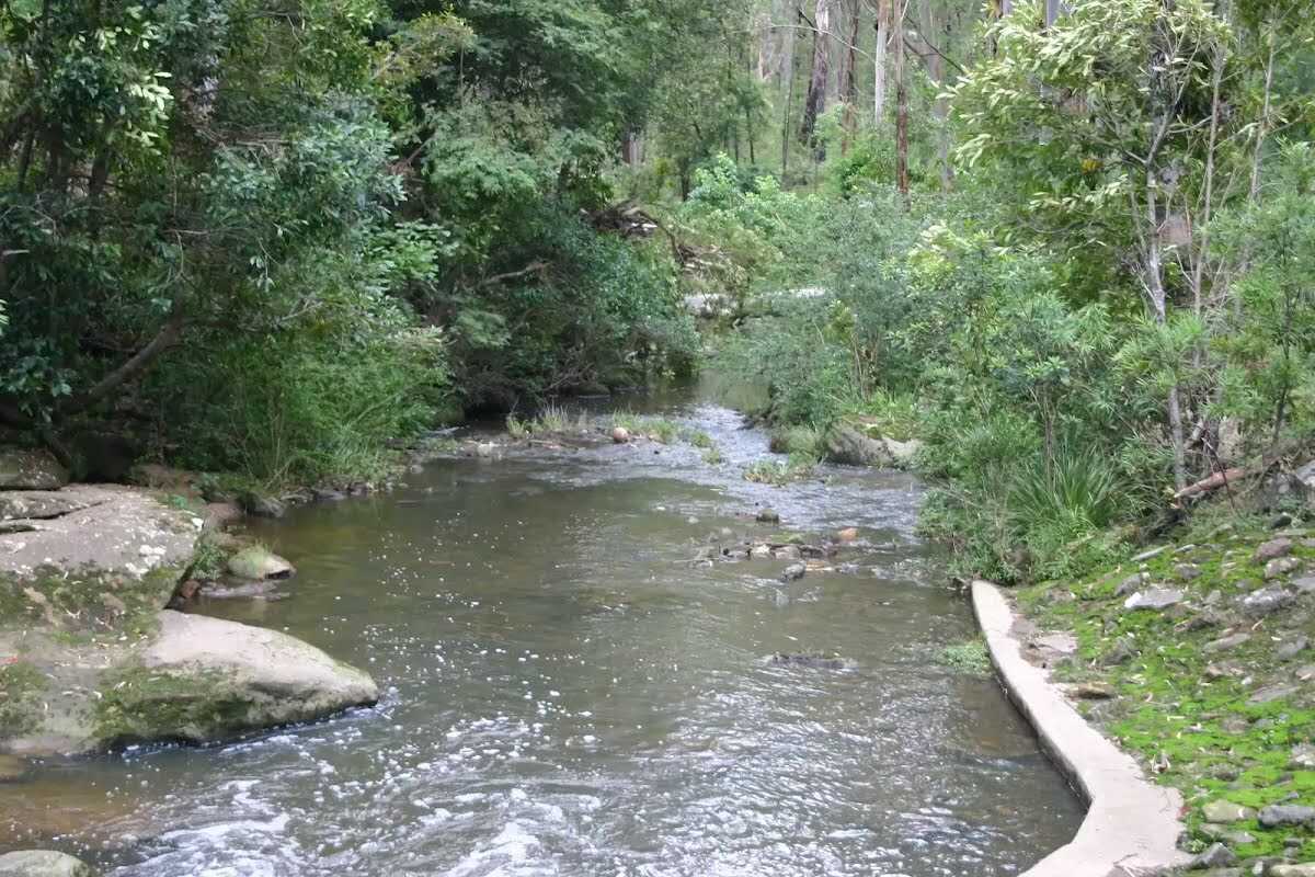
After another 35 m cross the ford.
|
|
|
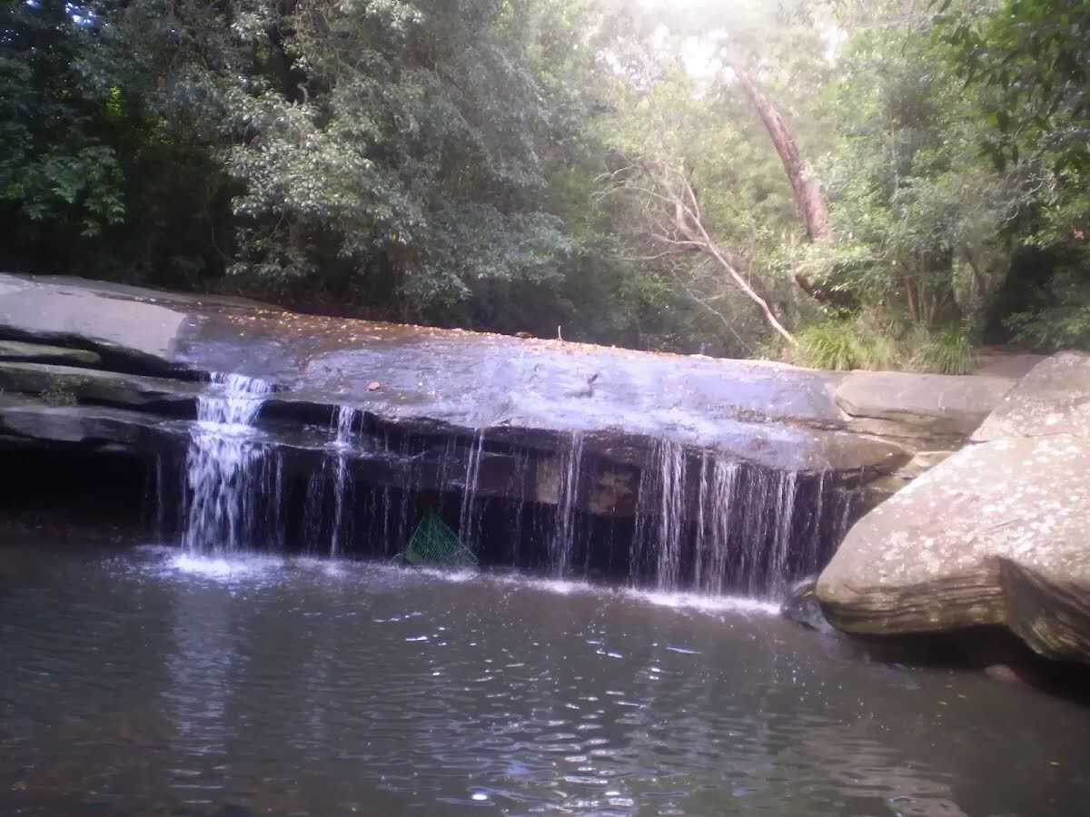
The starting point of an optional sidetrip. An optional side trip to Terrys Creek Waterfall. To start this optional side trip turn right here. On returning from this side trip continue straight when you get back to this intersection. Details below.
After another 2 m turn left.
|
|
|
After another 125 m continue straight.
|
|
|
After another 55 m continue straight.
|
|
|
After another 90 m continue straight.
After another 470 m continue straight.
|
|
|
After another 75 m continue straight.
After another 490 m pass the "Summerset Park" (8 m on your right).
|
|
|
After another 125 m continue straight.
|
|
|
After another 35 m continue straight.
|
|
|
After another 205 m turn left, to head along Terrys Creek Trail.
|
|
|
After another 250 m continue straight, to head along Terrys Creek Trail.
|
|
|
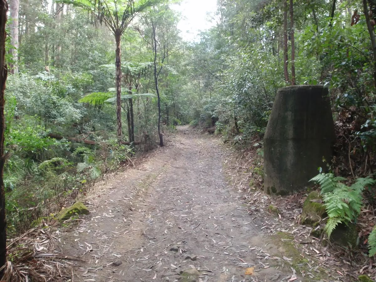
After another 690 m continue straight.
After another 55 m cross the bridge (about 15 m long)
After another 35 m pass the picnic table (9 m on your right).
|
|
|
Continue straight.
After another 15 m continue straight.

After another 35 m find the "Browns Waterhole" (15 m on your right).
After another 6 m cross the bridge (about 9 m long)
|
|
|
After another 10 m turn left.
After another 50 m pass the "Walking and Service Trails in the Lane Cove Valley" (8 m on your right).
After another 10 m pass the "The Great North Walk" (5 m on your right).
After another 190 m pass the "Great North Walk".
|
|
|
After another 245 m turn left.
After another 35 m continue straight.
After another 10 m pass the sign (on your right).
After another 75 m pass the sign (on your right).
Then pass the sign (7 m on your left).
After another 550 m continue straight.
After another 30 m pass the sign (on your right).
After another 10 m pass the sign (on your right).
Then pass the sign (on your right).
Then pass the "The Great North Walk" (on your right).
|
|
|
After another 55 m continue straight, to head along Great North Walk Track.
After another 55 m pass the "Walking and Service Trails in the Lane Cove Valley" (on your right).
After another 10 m pass the sign (on your left).
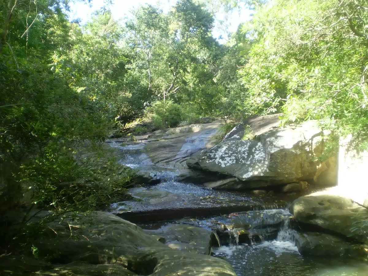
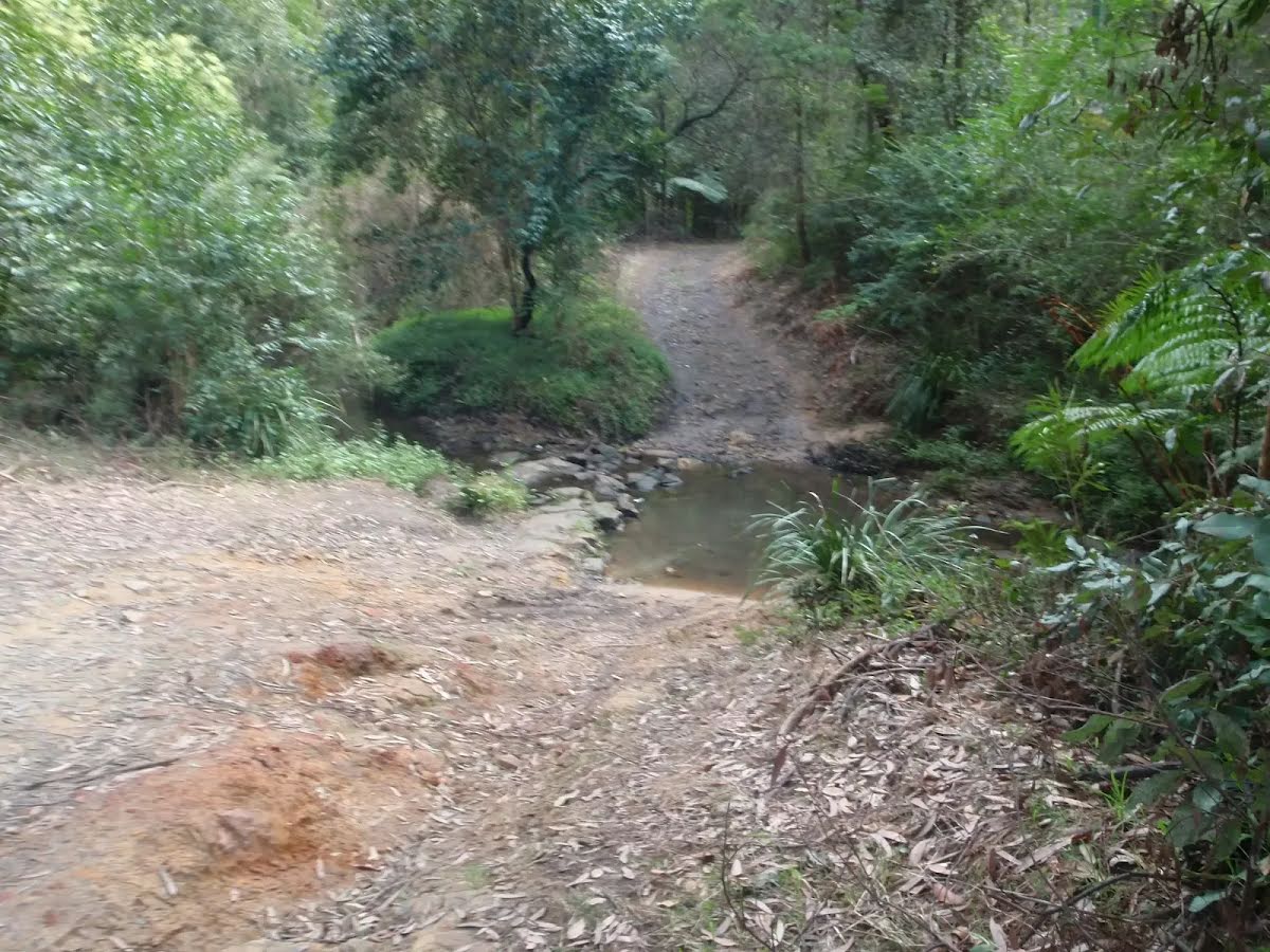
After another 690 m cross the ford.
After another 235 m continue straight, to head along Great North Walk Track.
After another 70 m cross the ford.
After another 20 m continue straight, to head along Great North Walk Track.
After another 470 m continue straight.
|
|
|
After another 590 m continue straight.
After another 6 m pass the "Walking and Service Trails in the Lane Cove Valley" (on your right).
Then pass the "The Great North Walk" (on your left).
|
|
|
After another 35 m continue straight.
After another 40 m pass the "Depth Marker" (on your left).
After another 235 m pass the "The Great North Walk" (5 m on your right).

Then cross the stepping stones.
After another 45 m pass the sign (6 m on your left).
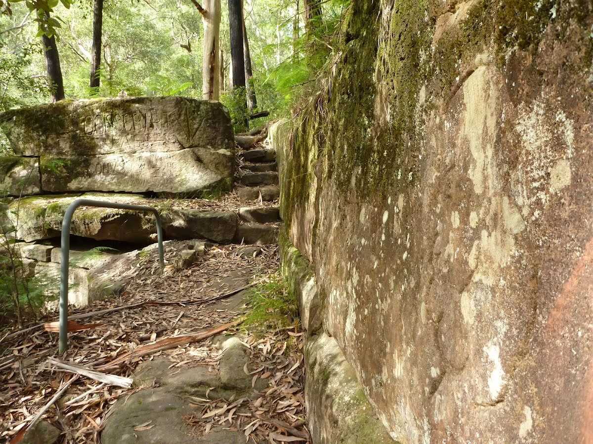
After another 40 m find the "Conscript Pass" (on your right).
|
|
|
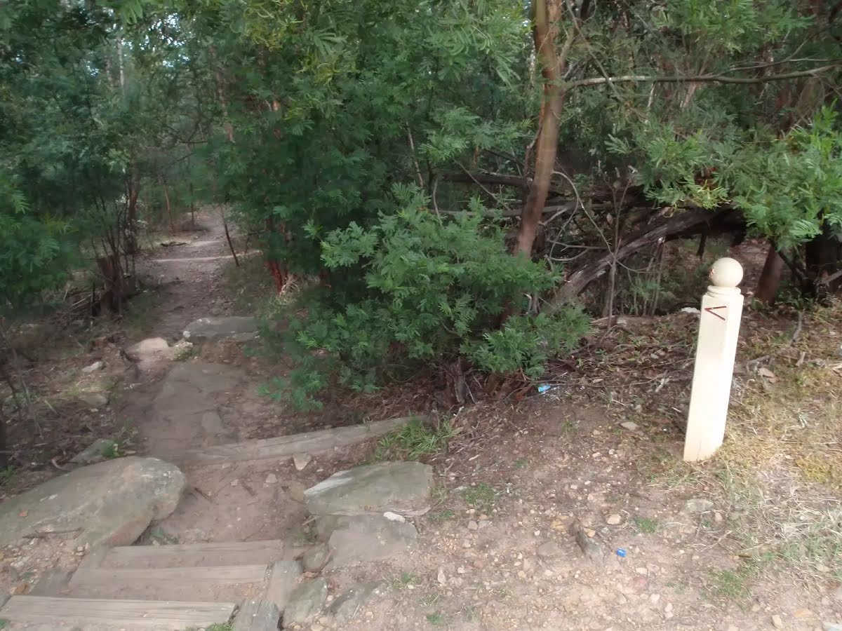
After another 60 m turn left, to head along Lorna Pass.
After another 45 m pass the "The Great North Walk" (on your left).
After another 45 m pass the "The Great North Walk" (7 m on your right).
After another 90 m pass the "The Great North Walk" (5 m on your right).
|
|
|
After another 45 m turn right.
After another 55 m pass the "The Great North Walk" (on your left).
After another 6 m pass the sign (on your left).
Then pass the "The Great North Walk" (on your left).
After another 190 m pass the "Walking and Service Trails in the Lane Cove Valley" (on your left).
Then pass a seat (6 m on your right)., has a backrest.
Then pass the "The Great North Walk" (on your left).

After another 180 m pass the toilet (30 m on your right).
24/7
|
|
|
Continue straight.
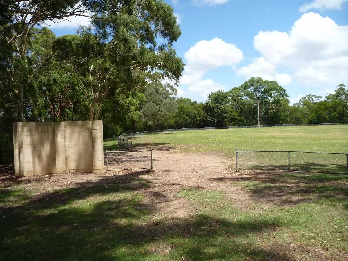
After another 70 m find the "Thornleigh Oval" (10 m on your right).
|
|
|
Continue straight, to head along Handley Avenue.
After another 10 m pass the "The Great North Walk" (15 m on your right).
After another 15 m pass the "The Great North Walk" (10 m on your right).
After another 110 m (at the intersection of Clifford Avenue & Handley Avenue) continue straight, to head along Handley Avenue.
|
|
|
After another 140 m (at the intersection of Orchard Street & Handley Avenue) turn right, to head along Orchard Street.
After another 320 m pass the "The Great North Walk" (7 m on your right).
|
|
|
At the intersection of Orchard Street & Station Street turn left, to head along Station Street.
After another 200 m (at the intersection of Station Street & Wood Street) continue straight, to head along Station Street.
After another 175 m continue straight, to head along Station Street.
|
|
|
After another 20 m continue straight.

After another 40 m find the "Subway" (30 m on your right).
Then cross the bridge (about 100 m long)
Then cross the bridge (about 85 m long)
Then cross the bridge (about 6 m long)

Then head down the 14 concrete steps (about 6 m long)

After another 15 m pass the car park (5 m on your right).
|
|
|
Turn right, to head along Station Street.
|
|
|
After another 3 m (at the intersection of Railway Parade & Station Street) continue straight (a footpath).
After another 65 m pass the "The Great North Walk" (on your right).
After another 20 m pass the "Curl and Wisker Cafe" (on your left).

Then head up the 4 concrete steps (about 15 m long)
Then find the "Zacs Great Food" (40 m on your left).
Then cross the bridge
Then head up the 19 concrete steps (about 8 m long)
Then cross the bridge
Then pass the "The Great North Walk" (on your left).
|
|
|

After another 25 m come to the end.
About 20 m past the end is a toilet., female.
About 20 m past the end is a pay phone.
About 15 m past the end is a seat., has a backrest.
About 65 m past the end is "Monday Morning".
|
|
|
Start.
Find the Pembroke Park at the start.
|
|
|
After another 45 m continue straight.
After another 150 m continue straight.
|
|
|
After another 50 m come to the end.
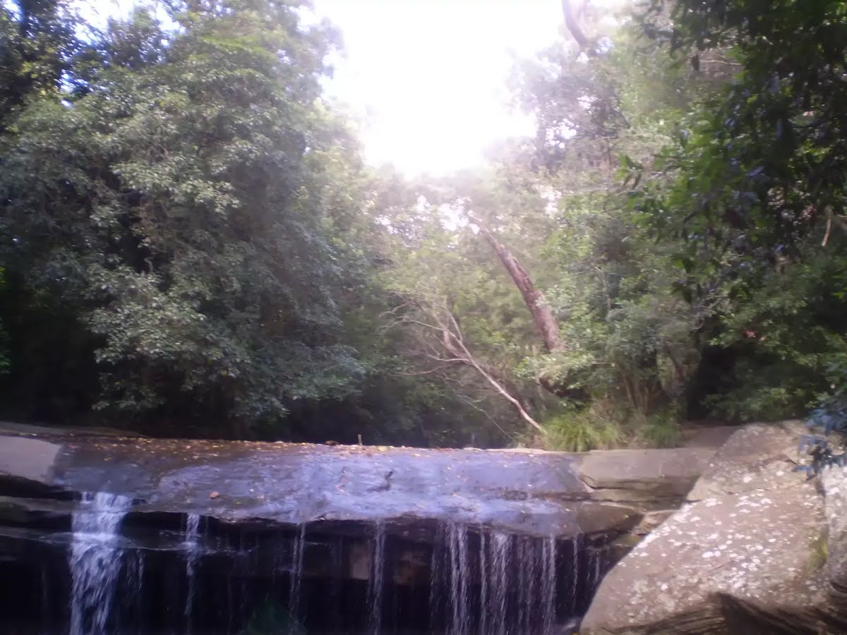
About 10 m past the end is "Terrys Creek Waterfall".

A viewpoint.

Turn around and retrace your steps back the 265 m to the main route.
|