


| Start | (-33.0299182,151.6421491) |
| Mode | Bus Car (There is free parking available.) |
| Directions | From Pacific Highway, A43
|
| Turn map | Directions & comments |
|---|---|
 |
|
 |
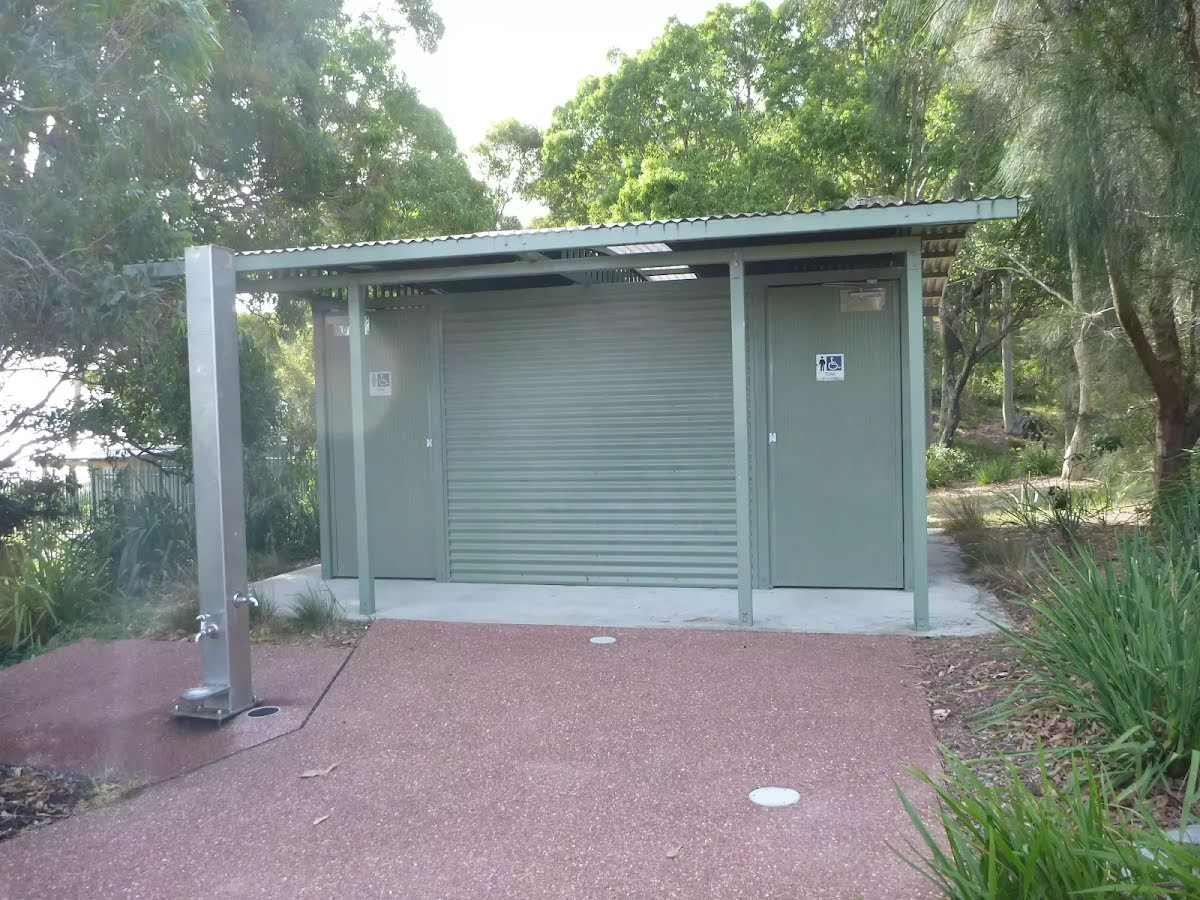
This water tap is wheelchair accessible.
|
 |
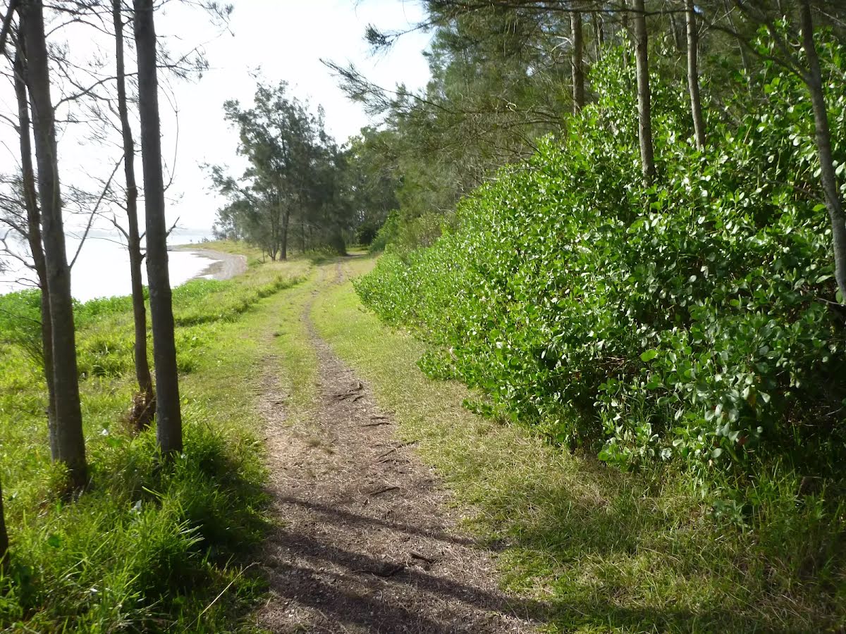
After another 85 m (at the intersection of Green Point Track & Lookout track) turn right, to head along Green Point Track.
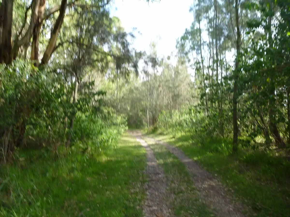
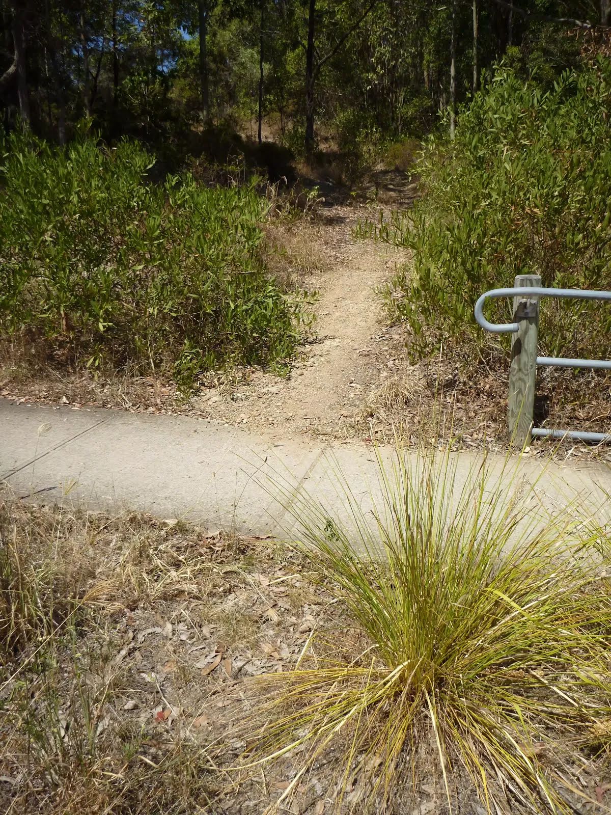
Keep left.
|
 |
|
 |
|
 |
|
 |
|
 |
|
 |
|
 |
|
 |
|
 |
|
 |
|
 |
|
 |
|
 |
|
 |
|
 |
|
 |
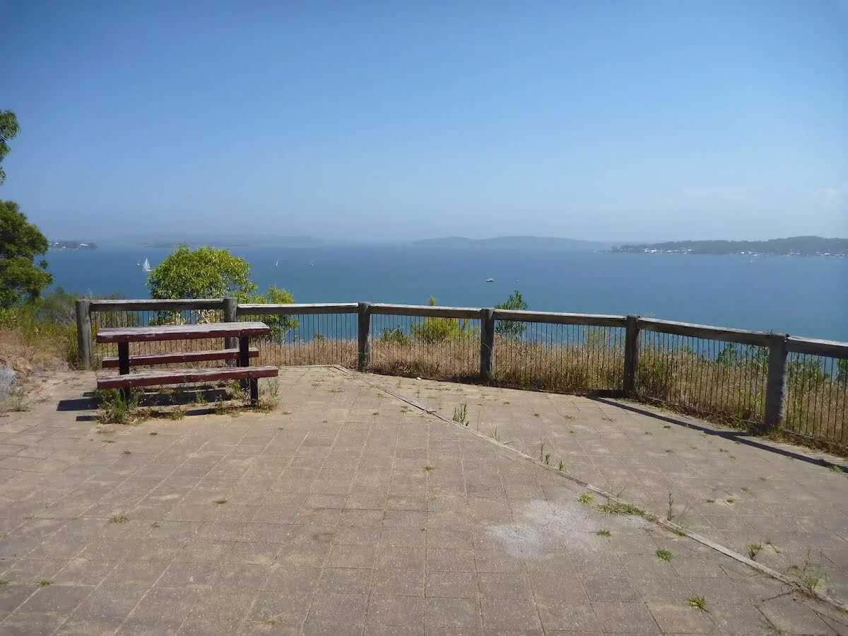
The starting point of an optional sidetrip. An optional side trip to Upper Lookout (Sea Eagle Park). To start this optional side trip turn sharp right here. On returning from this side trip turn sharp left when you get back to this intersection. Details below.
|
 |
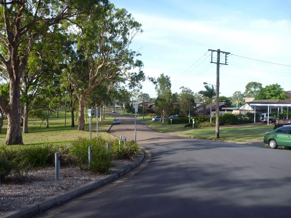
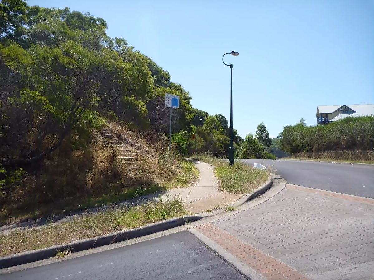
After another 510 m (at the intersection of Crown Street & The Shores Way) turn right, to head along The Shores Way (a residential road).
|
 |
|
 |

|
|
Class 4/6 Hard track |
|---|---|
| Length | 7.3 km |
| Time | 2 h 45 min to 3 h |
| Quality of track | Formed track, with some branches and other obstacles (3/6) |
| Gradient | Short steep hills (3/6) |
| Signage | Minimal directional signs (4/6) |
| Infrastructure | Limited facilities (such as cliffs not fenced, significant creeks not bridged) (4/6) |
| Experience Required | Some bushwalking experience recommended (3/6) |
| Weather | Weather generally has little impact on safety (1/6) |
| Item | From Start | Name & link to notes |
|---|---|---|
Toilet
| 30 m | Public Toilets |
Toilet
| 660 m | [toilet] |
Toilet
| 6.3 km + 140 m | [toilet] |