


| Start | (-33.7970057,151.1803765) |
| Mode | Bus Car (There is free parking available.) Train |
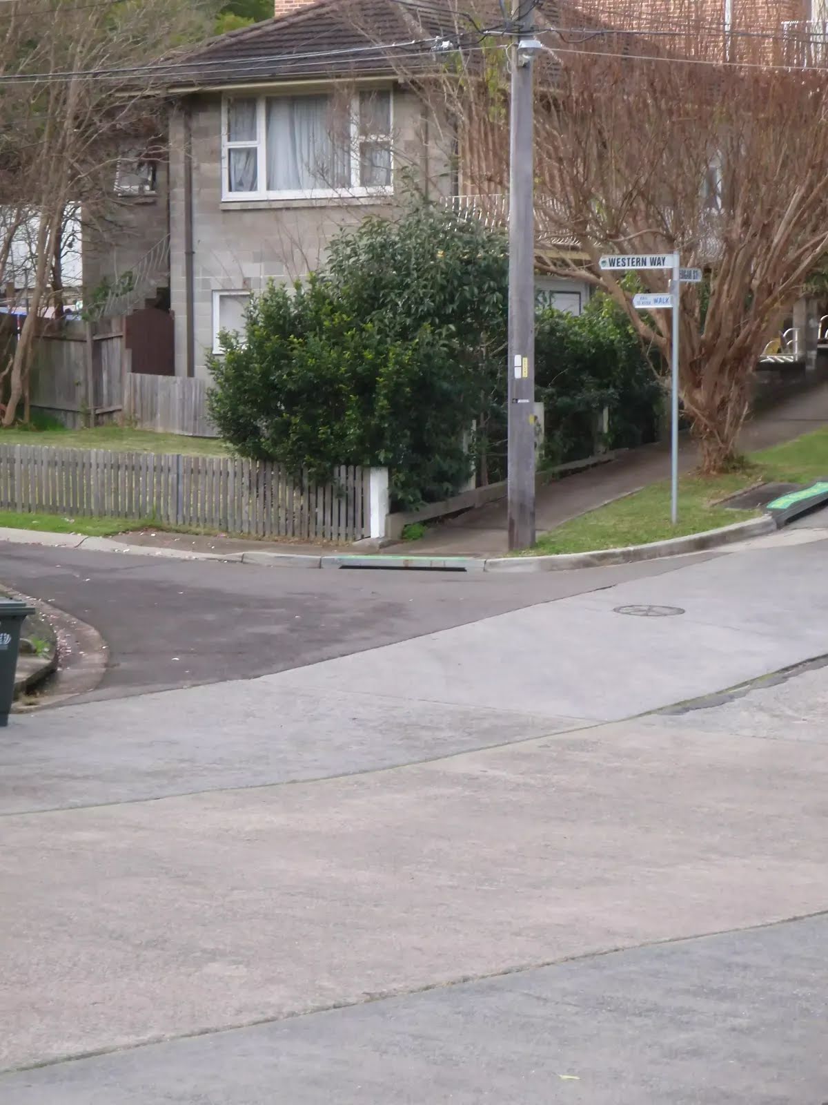
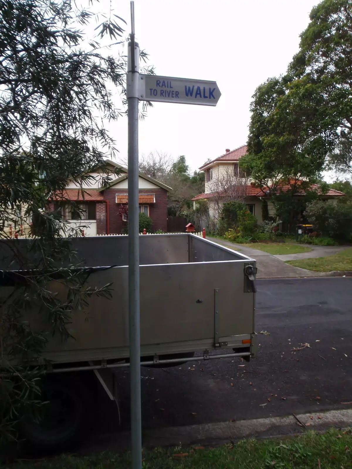
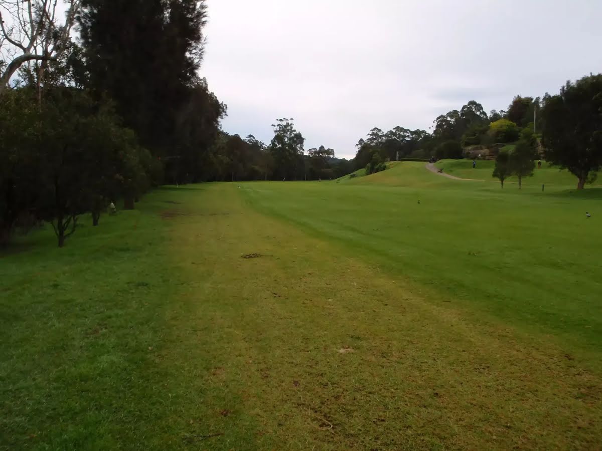
| Directions | From Howarth Road
|
| Finish | (-33.8009878,151.1473898) |
| Mode (end) | Car Shuttle Bus Car (There is free parking available.) |

|
|
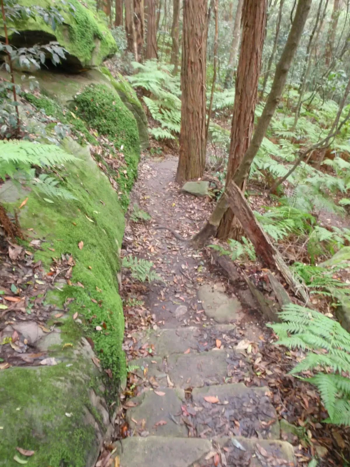
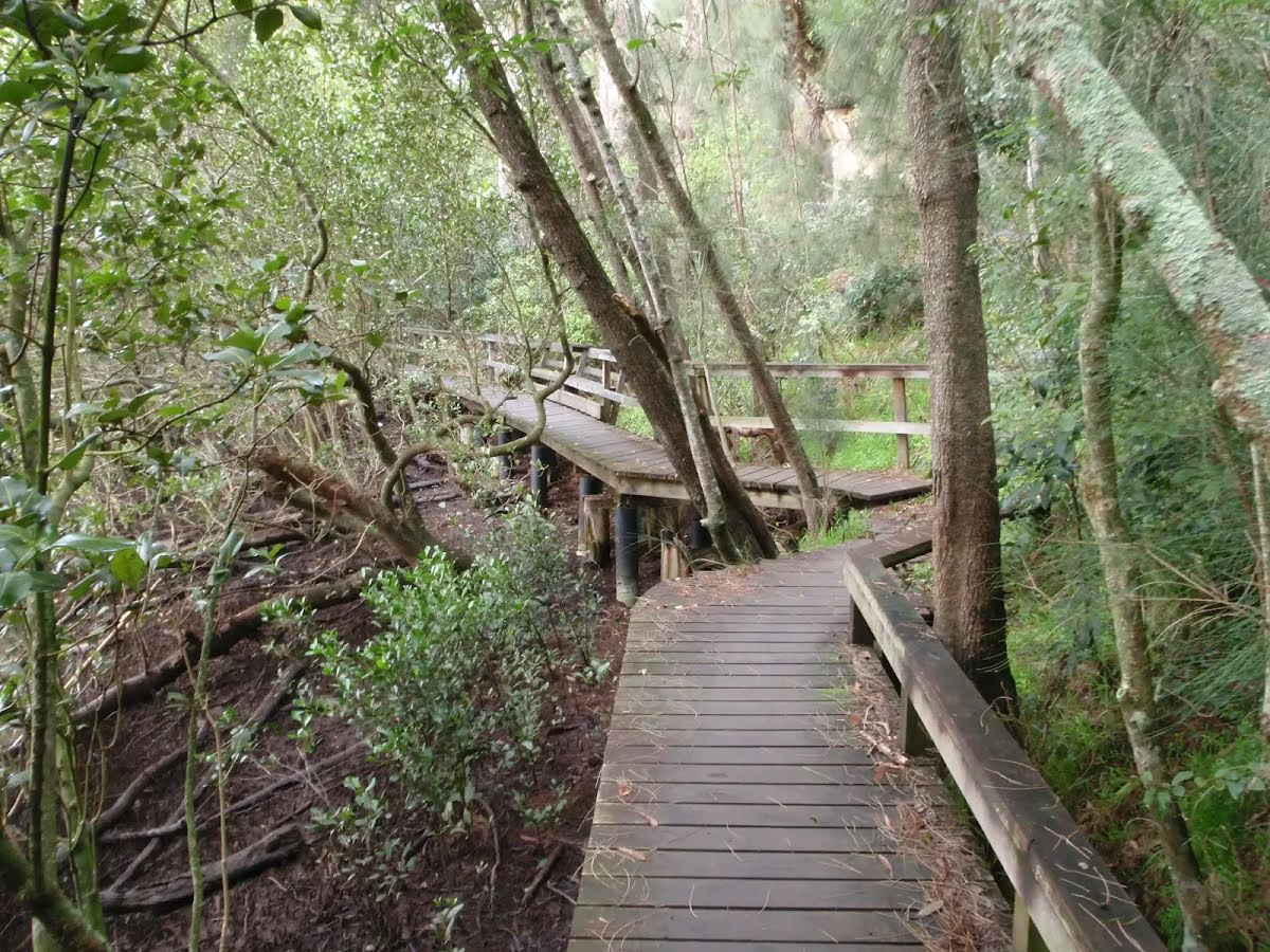
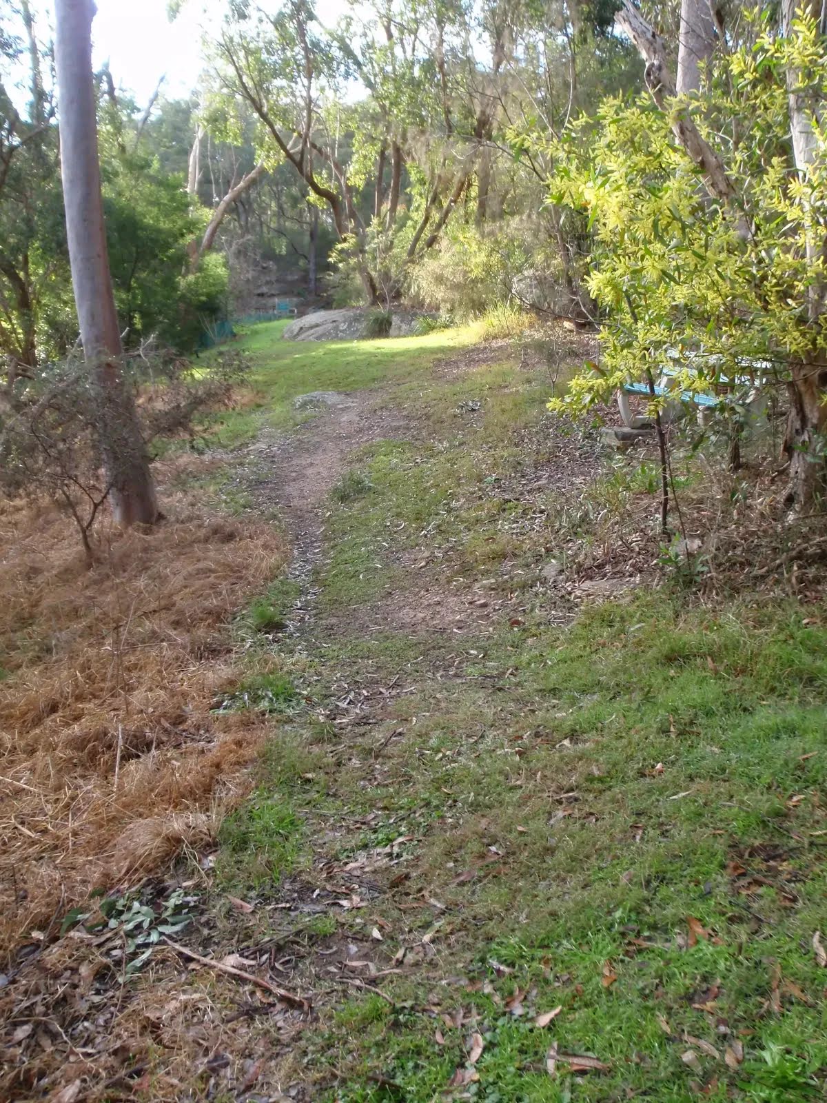
Class 4/6 Hard track |
|---|---|
| Length | 5.5 km |
| Time | 2 h to 4 h |
| Quality of track | Formed track, with some branches and other obstacles (3/6) |
| Gradient | Very steep (4/6) |
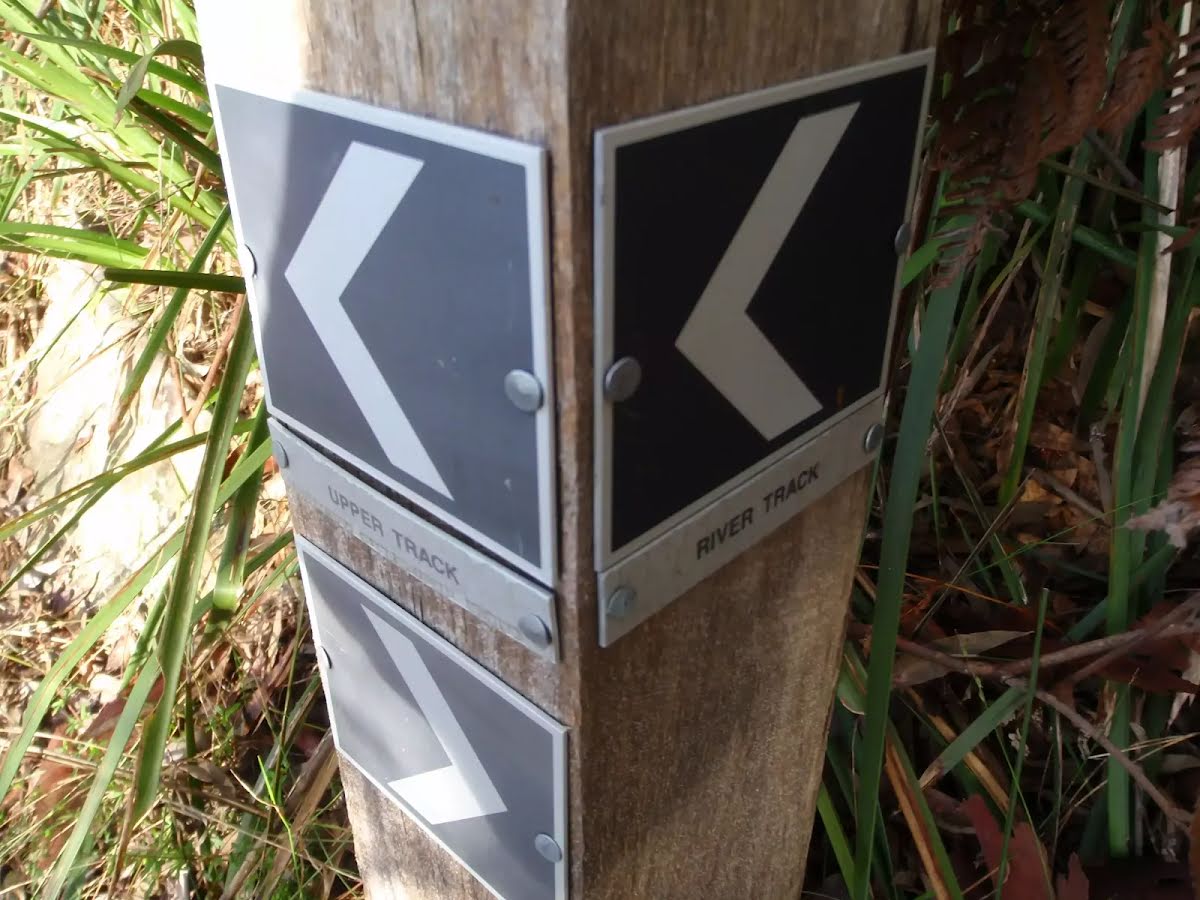
| Signage | Directional signs along the way (3/6) |
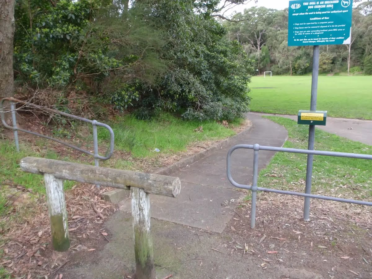
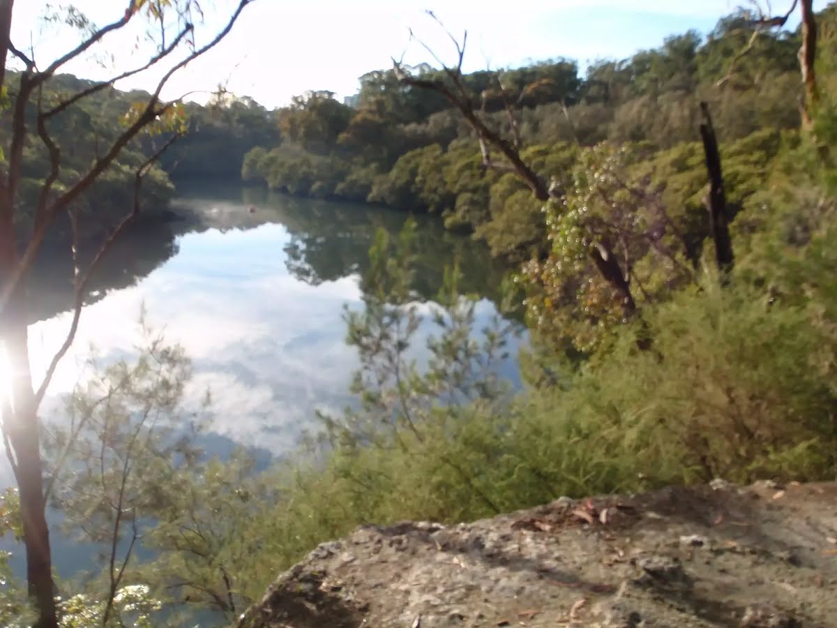
| Infrastructure | Limited facilities, not all cliffs are fenced (3/6) |
| Experience Required | Some bushwalking experience recommended (3/6) |
| Weather | Storms may impact on navigation and safety (3/6) |
| Item | From Start | Name & link to notes |
|---|---|---|
Toilet
| -23 m | [toilet] |
Seat
| 810 m | [seat] |
Seat
| 4.6 km | [seat] |
Seat
| 4.7 km | [seat] |
Seat
| 5.3 km | [seat] |
Seat
| 5.5 km | [seat] |