


| Start | At the intersection of Two Creeks Track & Slade Avenue (-33.77249,151.175746) |
| Mode | Car |
| Directions | From Pacific Highway, A1, Lindfield.
|
| Turn map | Directions & comments |
|---|---|
 |
|
 |
|
 |
|
 |
|
 |
|
 |
|
 |
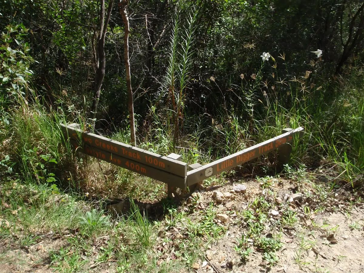
The starting point of an alternate route. An alternate route avoiding the national park, making the track pet-friendly. To take the alternate route turn right here. Details below.
|
 |
|
 |
|
 |
|
 |
|
 |
The alternate route finishes here. Turn right to rejoin the main route at the 3.6 km waypoint. Details below.
|
 |
|
 |
|
 |
|
 |
|
 |
|
 |
|
 |
|
 |
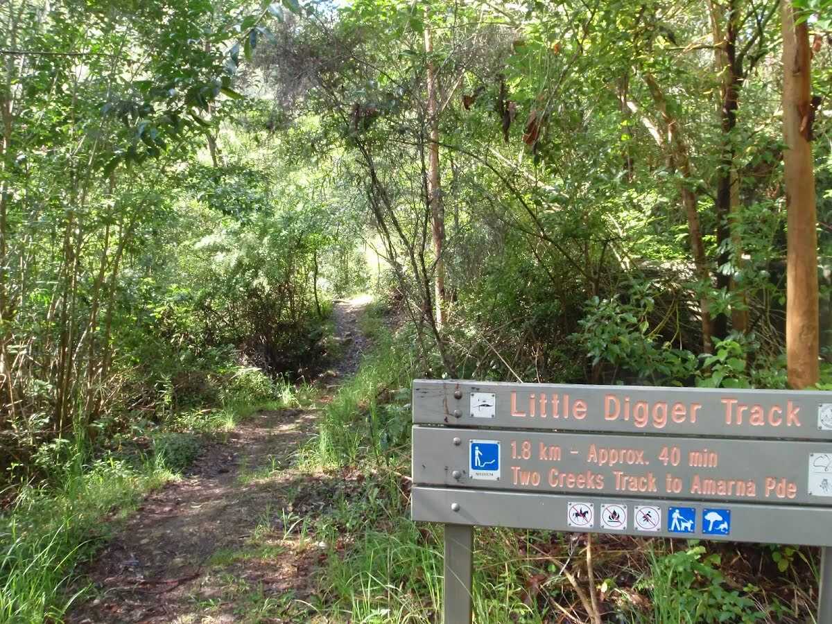
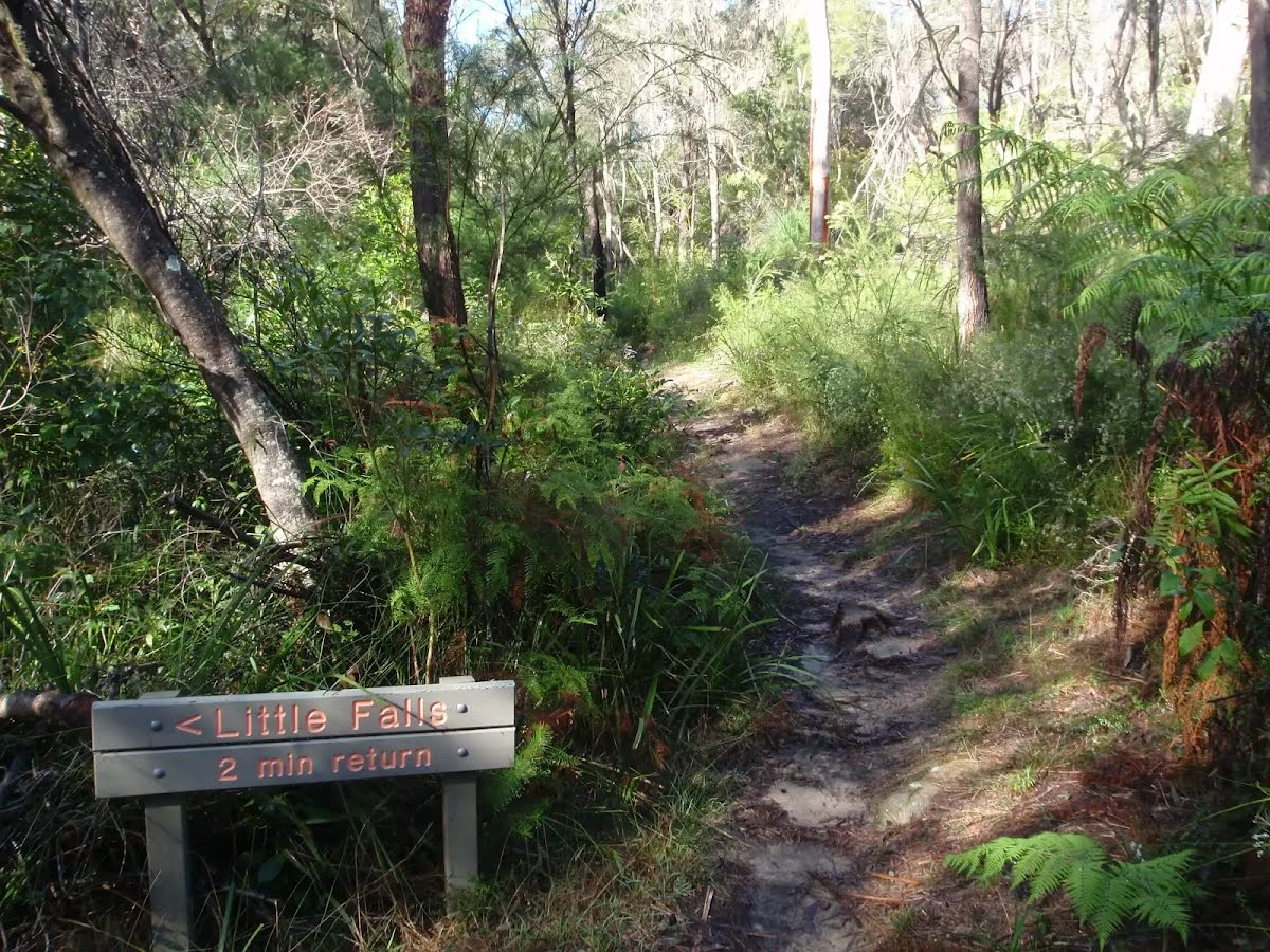
The starting point of an optional sidetrip. An optional side trip to Little Falls. To start this optional side trip turn left here. On returning from this side trip turn left when you get back to this intersection. Details below.
|
 |
|
 |
|
 |
|
 |
|
 |
After another 175 m (at the intersection of Sydney Road & Woodlands Road) turn right, to head along Sydney Road.
|
 |
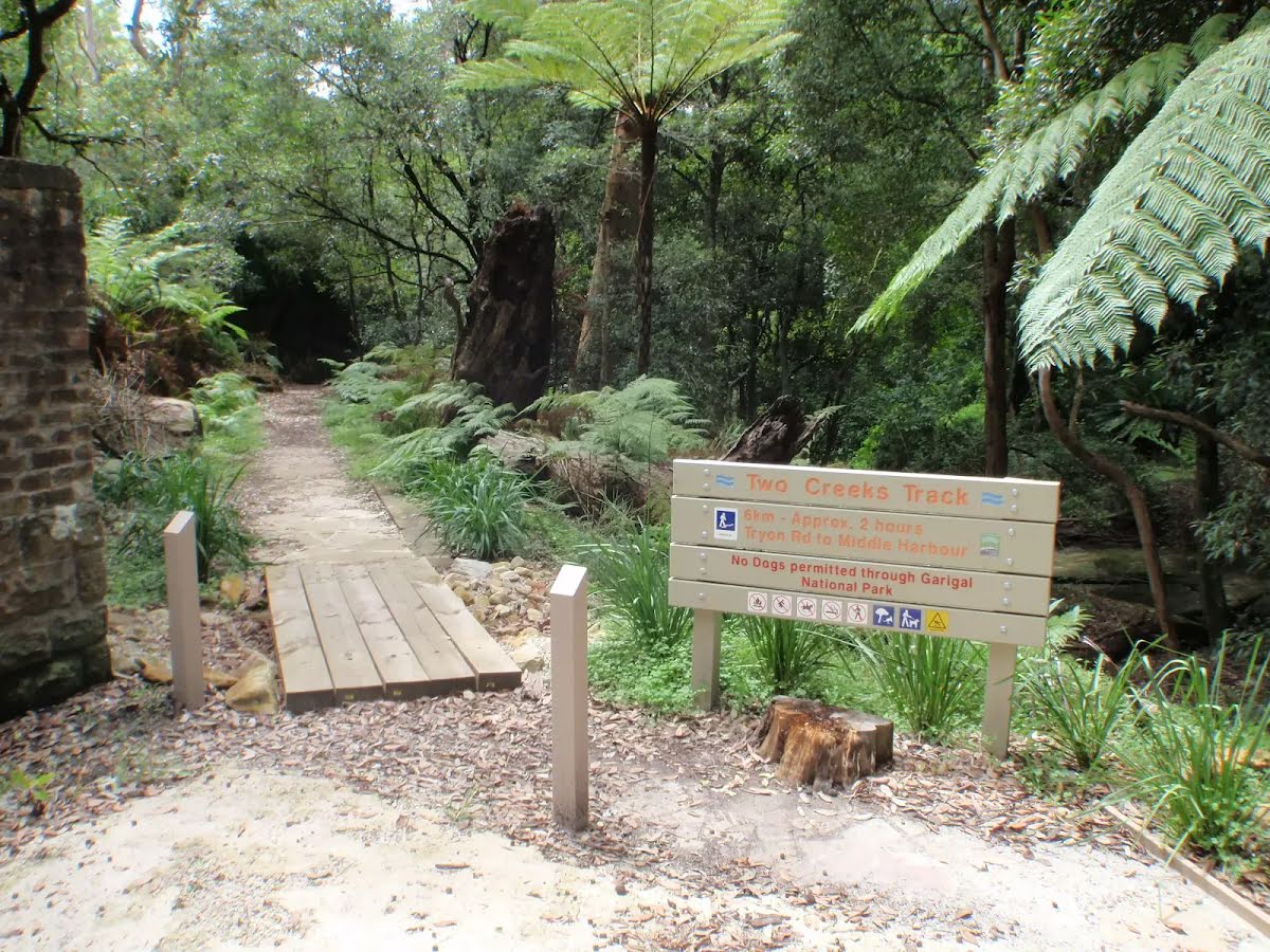
After another 140 m (at the intersection of Tryon Road & Sydney Road) turn left, to head along Tryon Road (a highway|tertiary).
|
 |
|
 |
|
 |
|
 |
|
 |

|
|
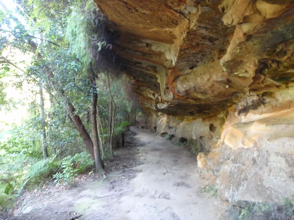
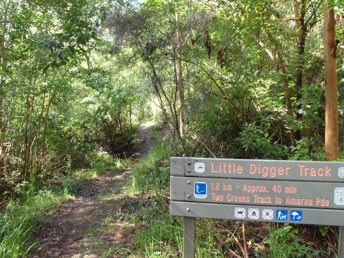
Class 3/6 Moderate track |
|---|---|
| Length | 7.4 km |
| Time | 2 h 15 min to 3 h 30 min |
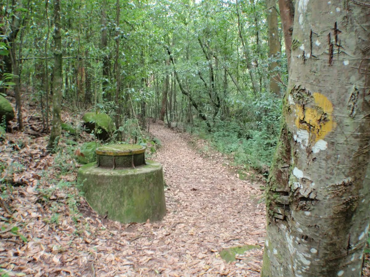
| Quality of track | Formed track, with some branches and other obstacles (3/6) |
| Gradient | Short steep hills (3/6) |
| Signage | Directional signs along the way (3/6) |
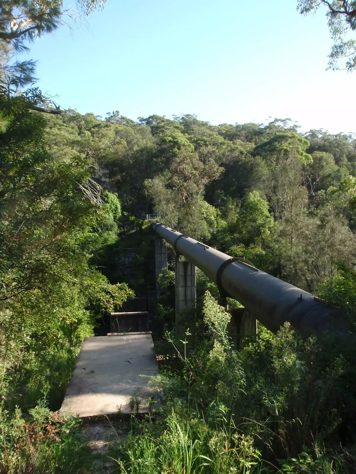
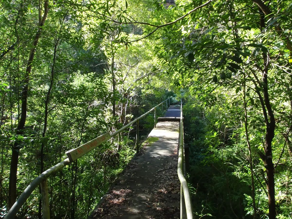
| Infrastructure | Limited facilities, not all cliffs are fenced (3/6) |
| Experience Required | Some bushwalking experience recommended (3/6) |
| Weather | Storms may impact on navigation and safety (3/6) |
| Item | From Start | Name & link to notes |
|---|---|---|
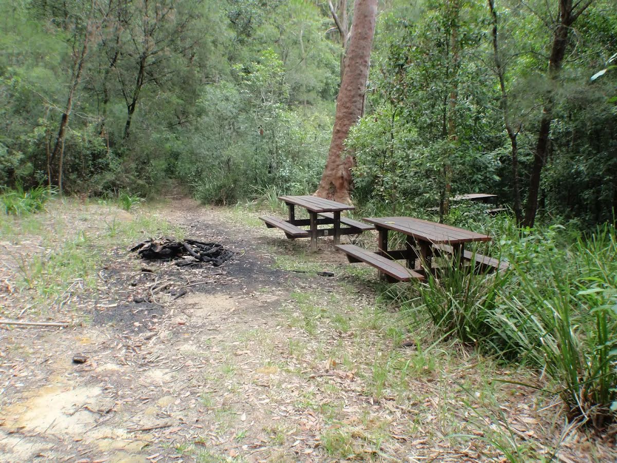
Shelter
| 225 m | [shelter] |
Seat
| 1.2 km + 100 m | [seat] |
Shelter
| 4.2 km | [shelter] |
Seat
| 4.5 km | [seat] |
Shelter
| 4.9 km | [shelter] |
Seat
| 6.6 km | [seat] |
Shelter
| 6.7 km | [shelter] |
Source: NSW Parks