


| Start | (-33.0155482,151.7121886) |
| Mode | Car (There is free parking available.) |
| Directions | From , Jewells. |
| Turn map | Directions & comments |
|---|---|
 |
|
 |
|
 |
|
 |
|
 |
|
 |
|
 |
|
 |
|
 |
|
 |
|
 |
|
 |
|
 |
|
 |
|
 |
|
 |
|
 |
|
 |
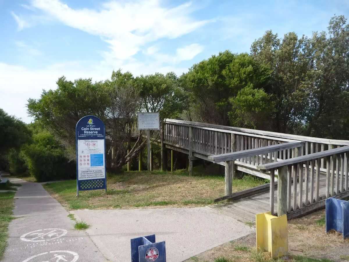
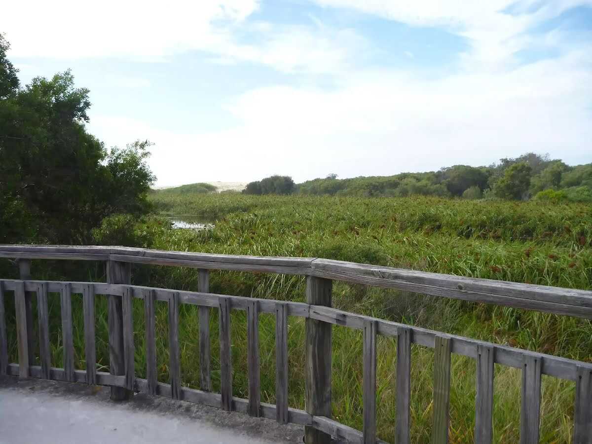
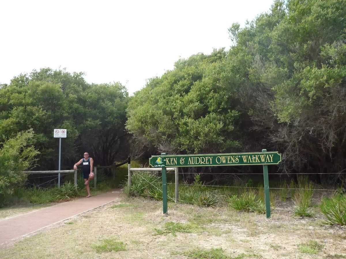
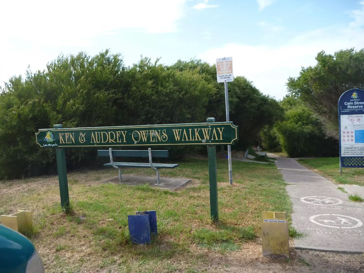
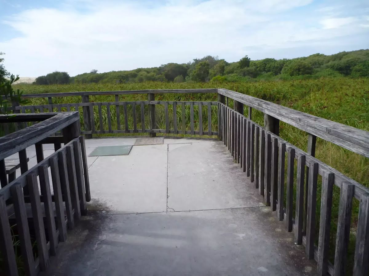
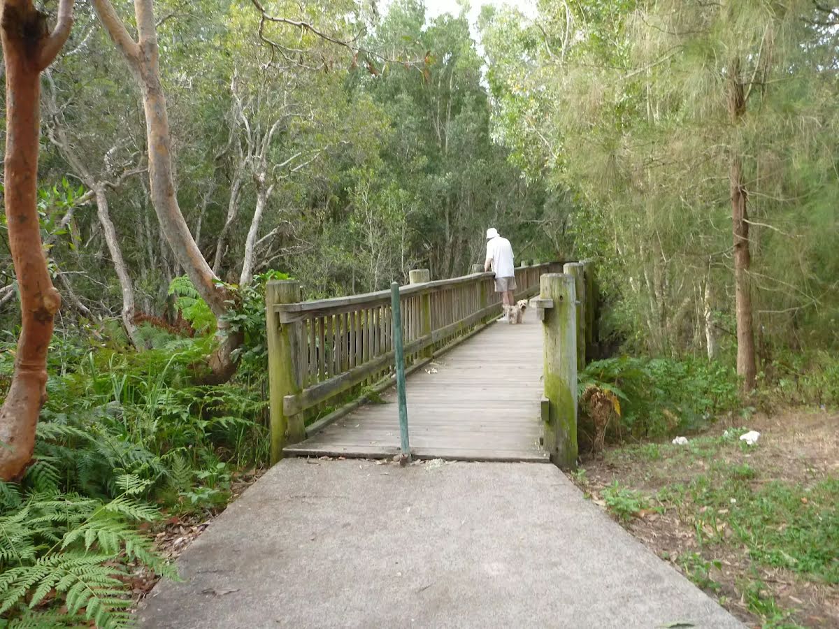
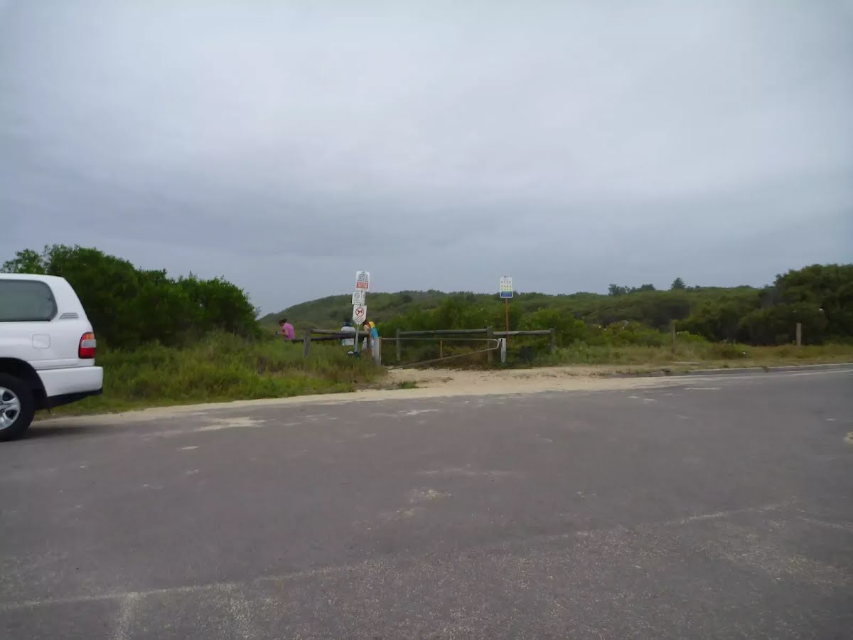
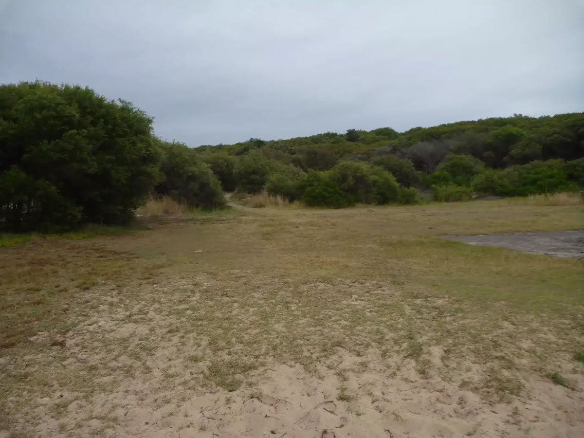
The starting point of an optional sidetrip. Side trip to George Stanton Lookout. To start this optional side trip turn right here. On returning from this side trip error >360 when you get back to this intersection. Details below.
|
 |
|
 |
|
 |
| Turn map | Directions & comments |
|---|---|
 |
|
 |

|
|
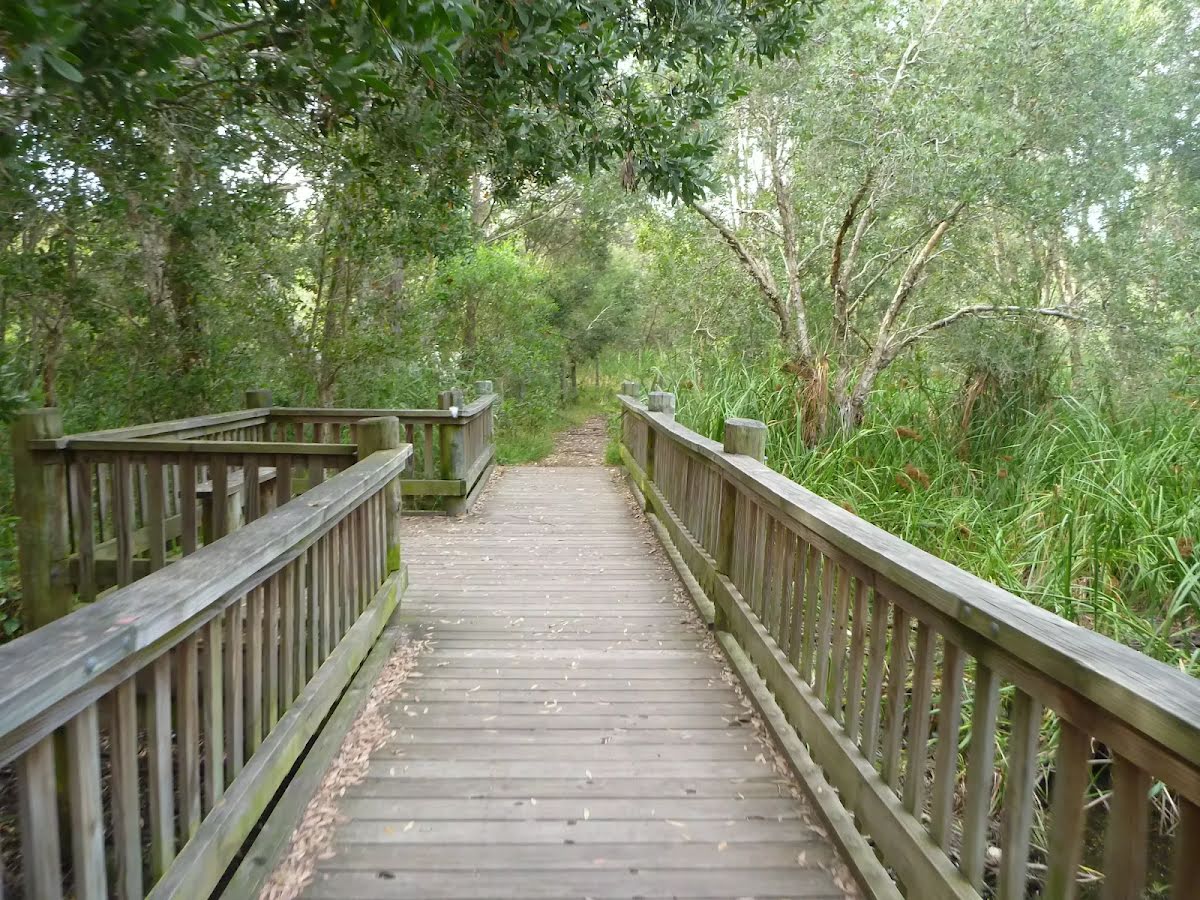
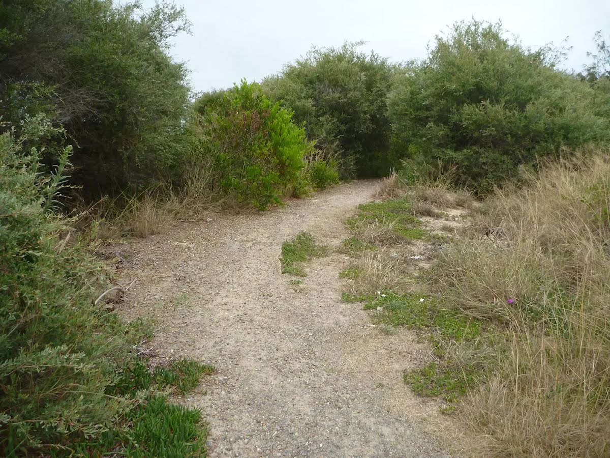
Class 4/6 Hard track |
|---|---|
| Length | 3.6 km |
| Time | 1 h to 2 h |
| Quality of track | Rough track, where fallen trees and other obstacles are likely (4/6) |
| Gradient | Short steep hills (3/6) |
| Signage | Minimal directional signs (4/6) |
| Infrastructure | Limited facilities (such as cliffs not fenced, significant creeks not bridged) (4/6) |
| Experience Required | Moderate level of bushwalking experience recommended (4/6) |
| Weather | Storms may impact on navigation and safety (3/6) |
| Item | From Start | Name & link to notes |
|---|---|---|
Toilet
| 2.4 km | [toilet] |
Toilet
| 3 km | [toilet] |
Shelter
| 3 km | [shelter] |
Seat
| 3.1 km | [seat] |