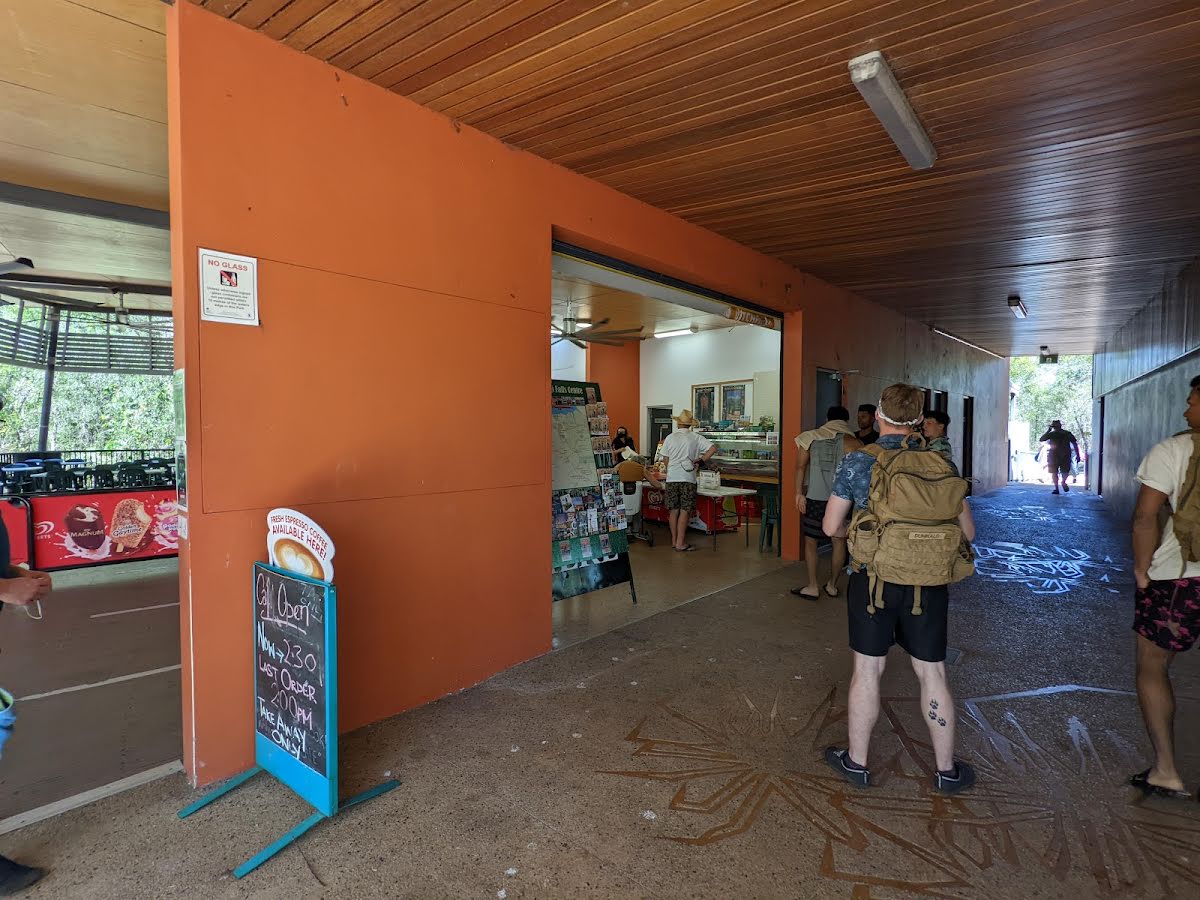
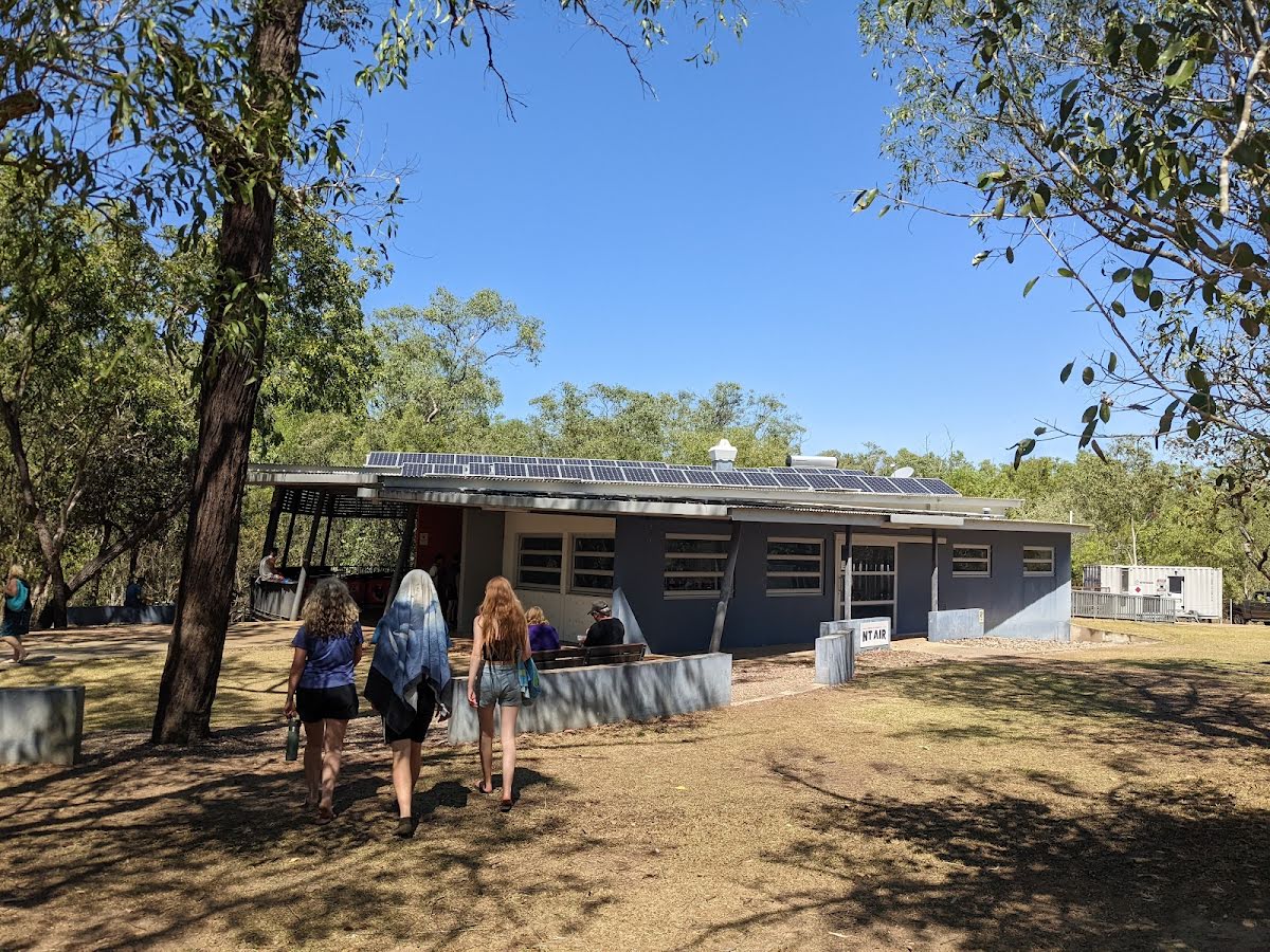
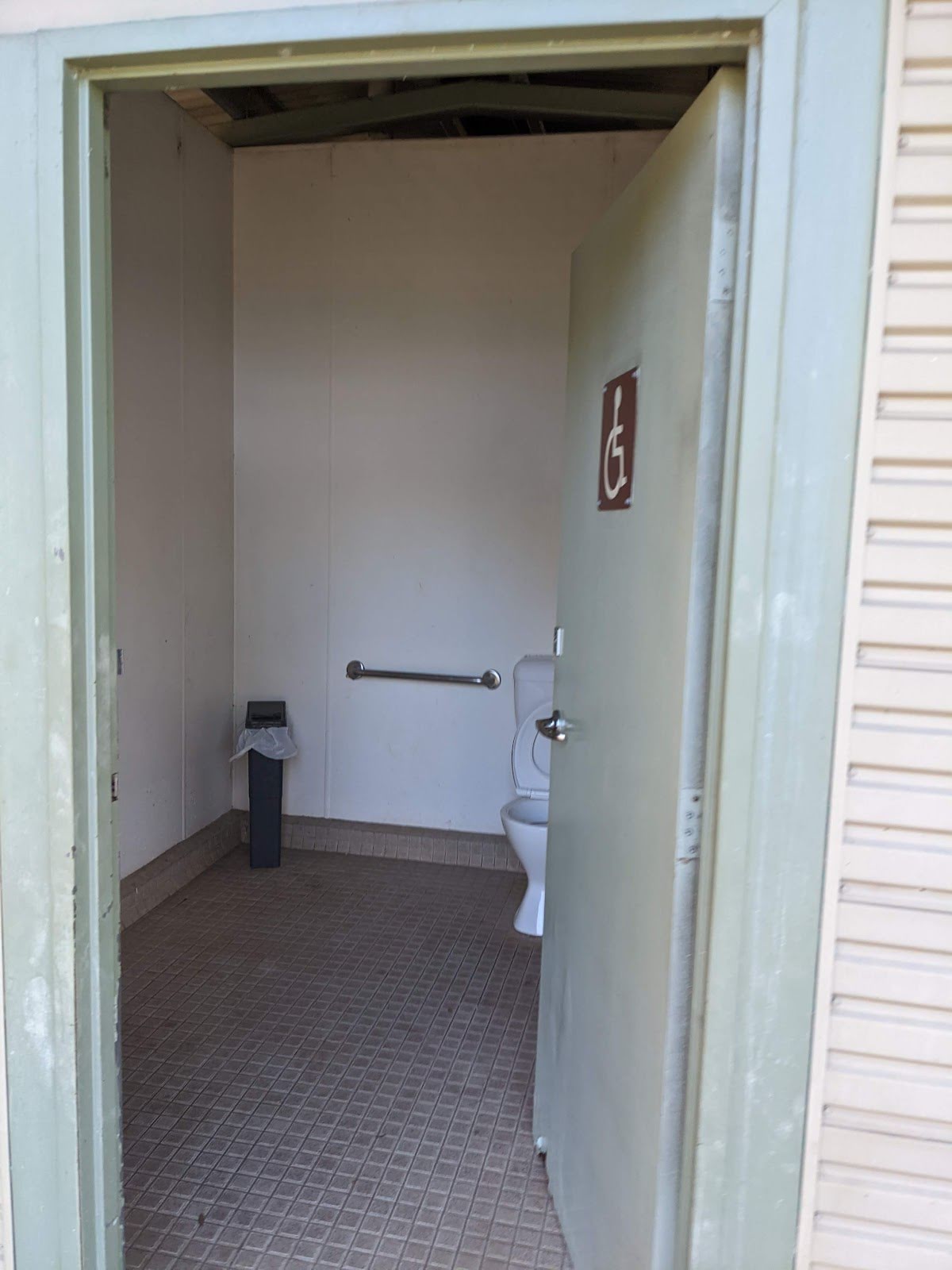
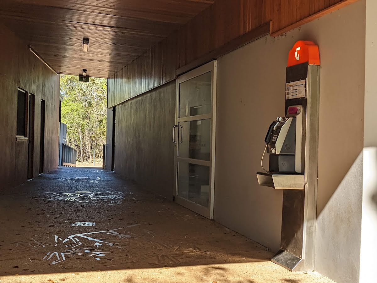
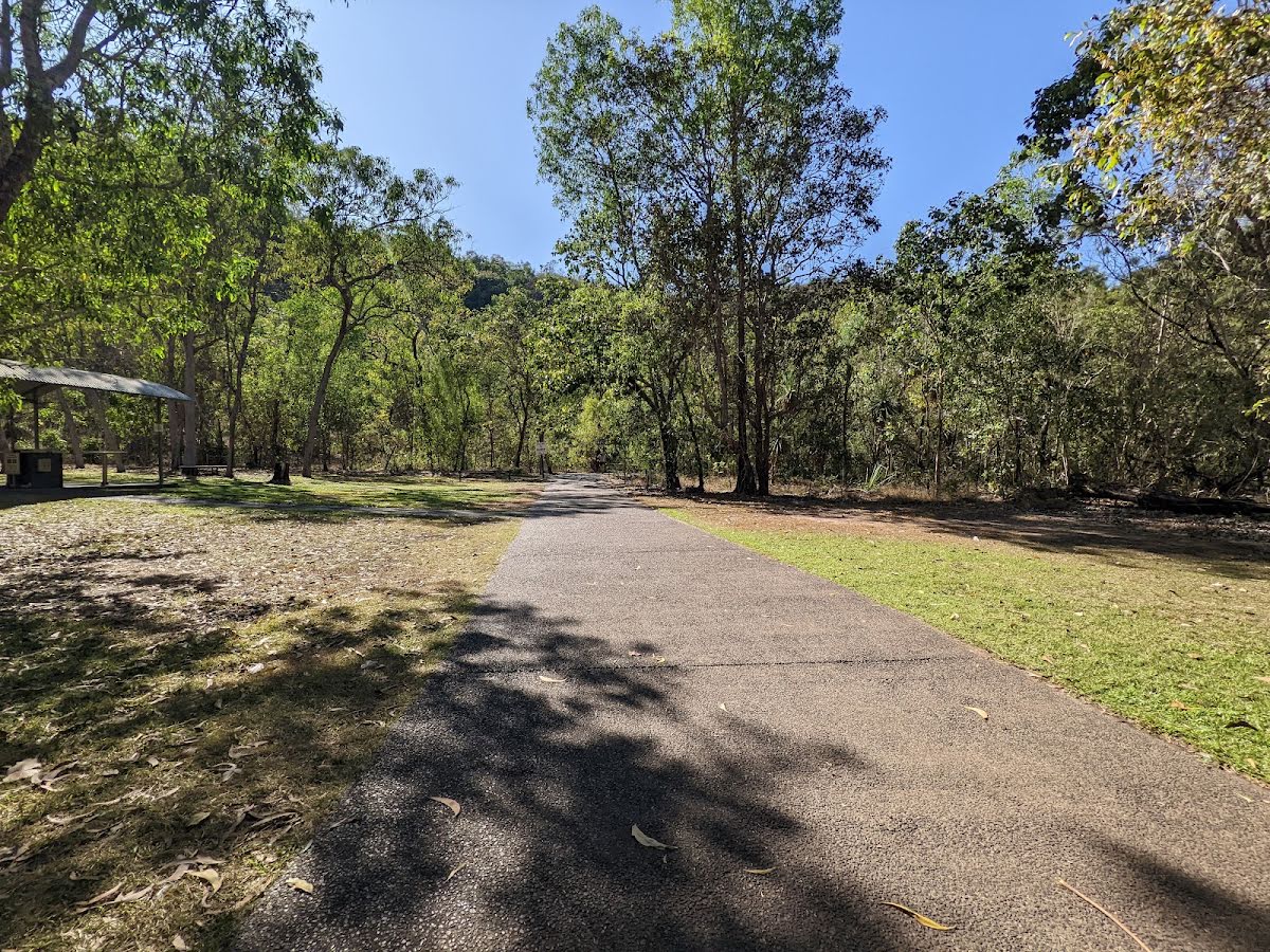
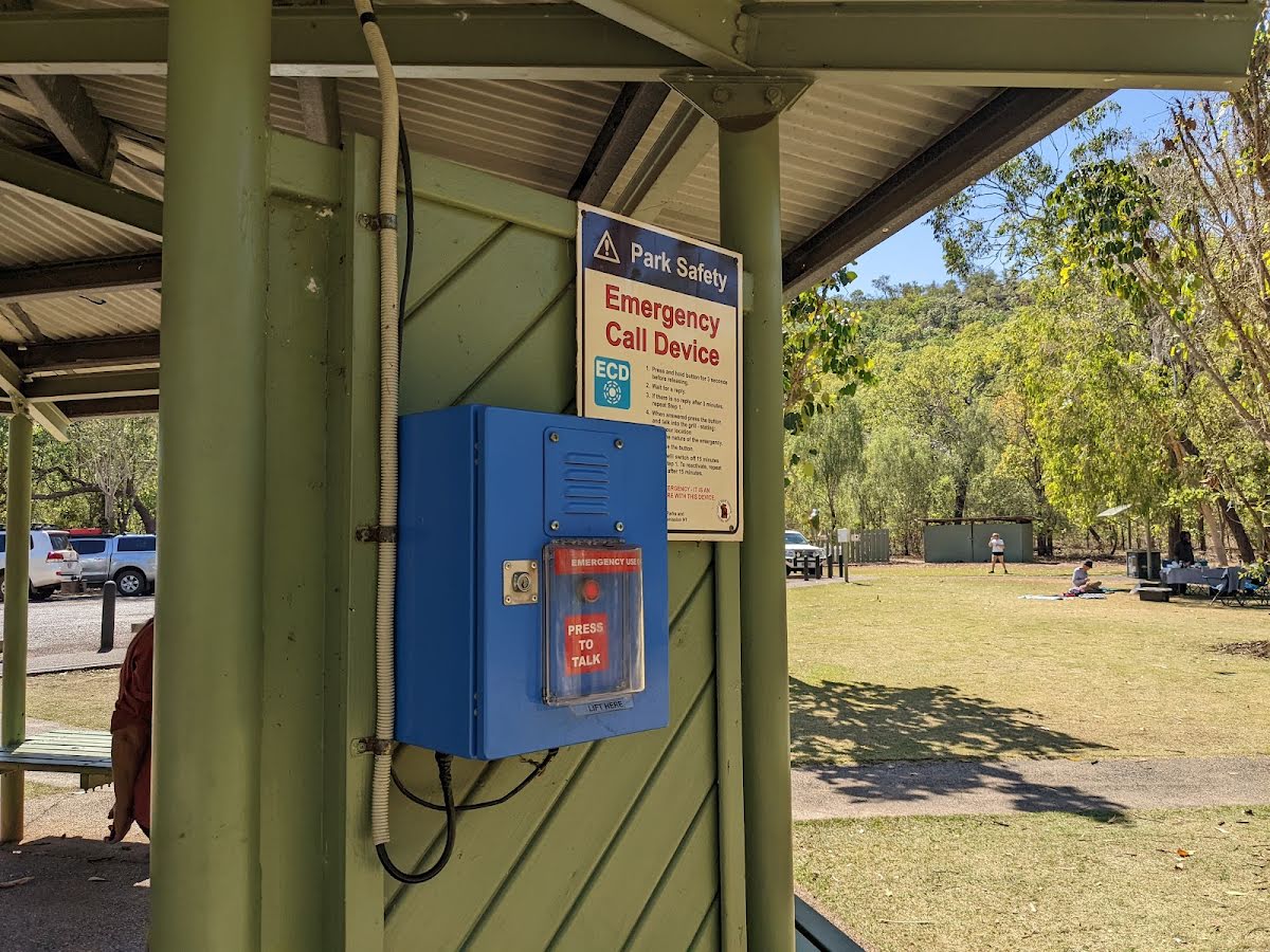
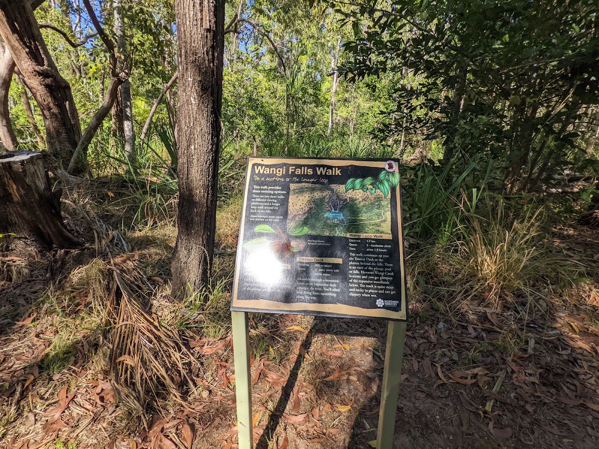
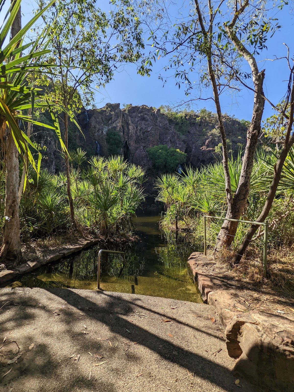
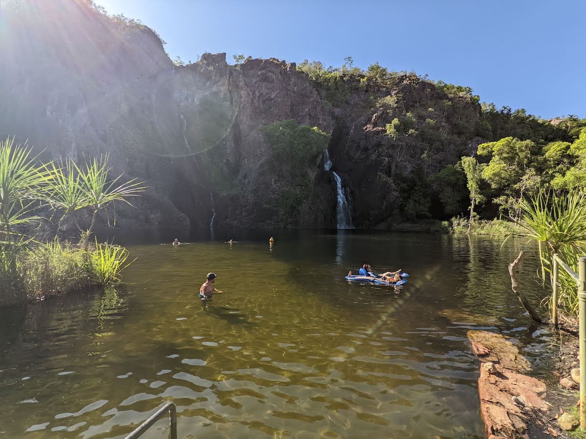
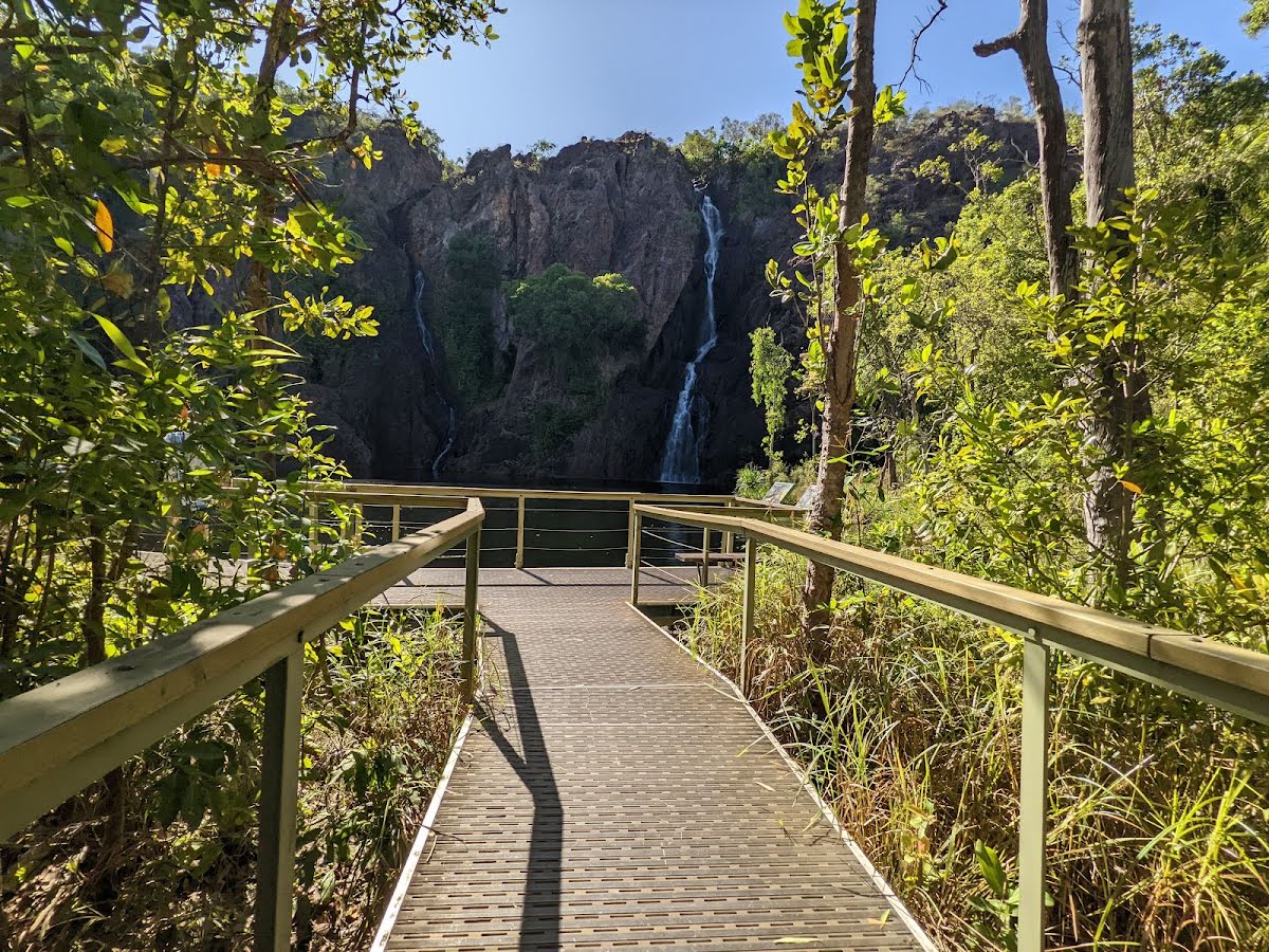
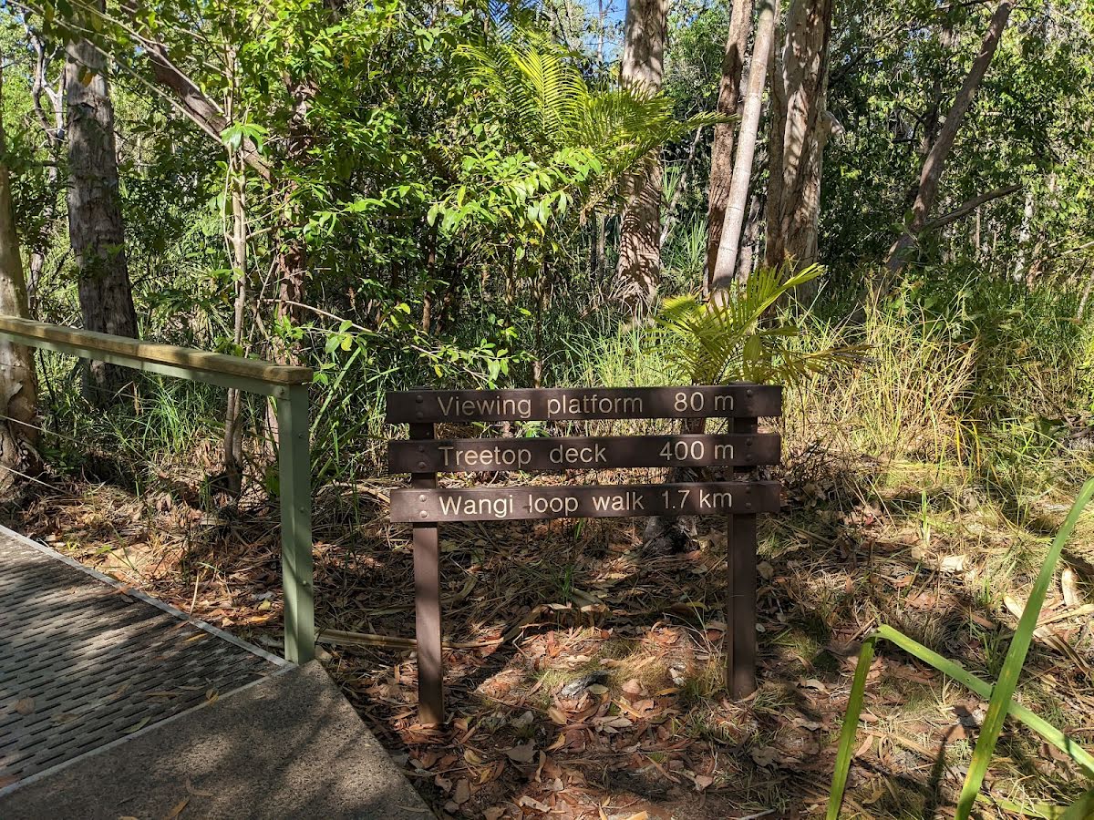
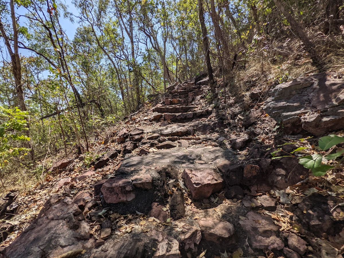
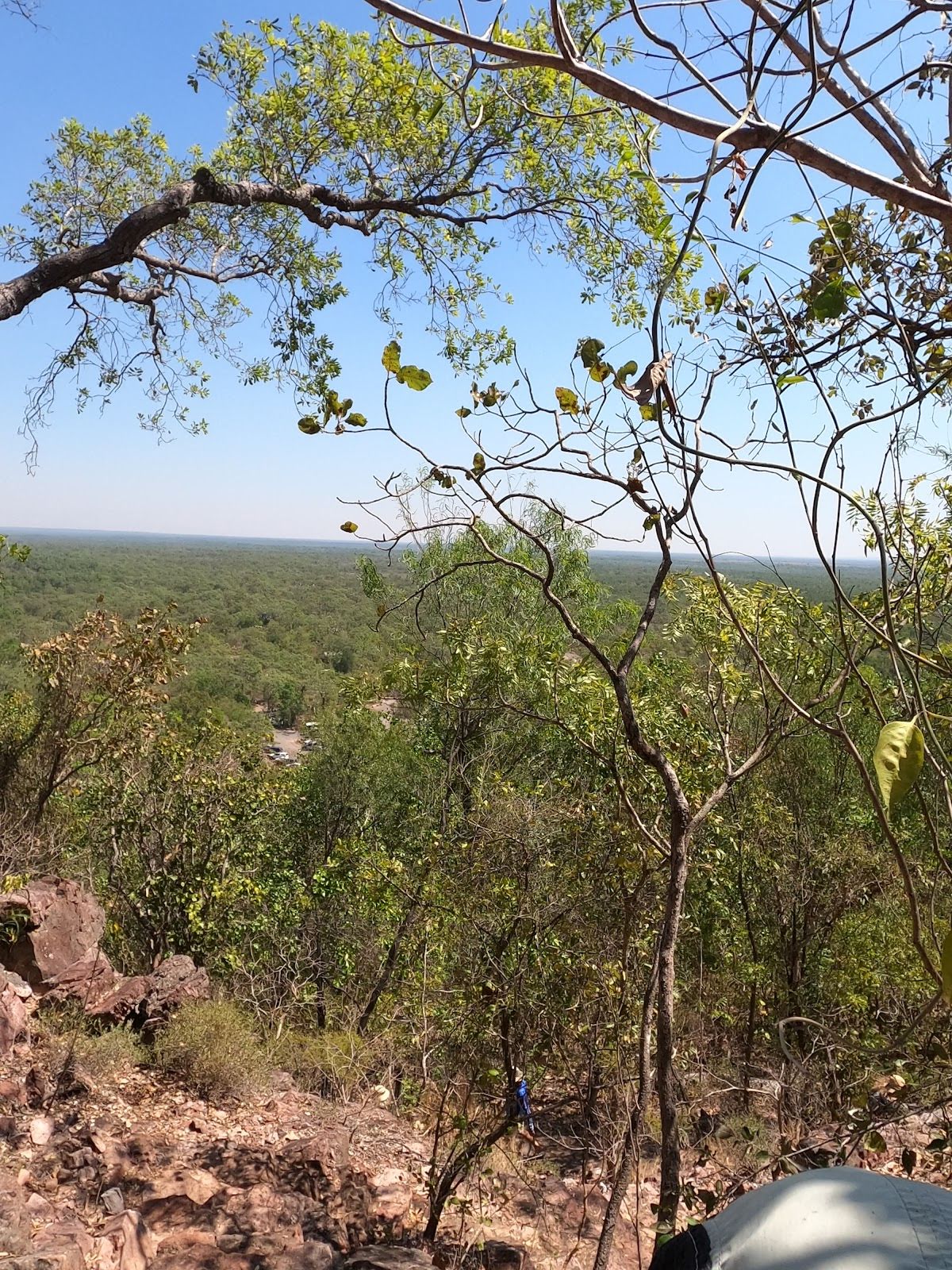
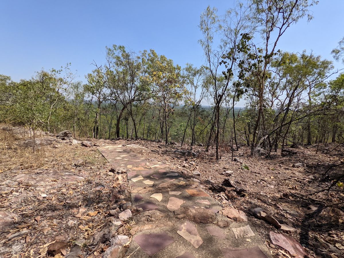
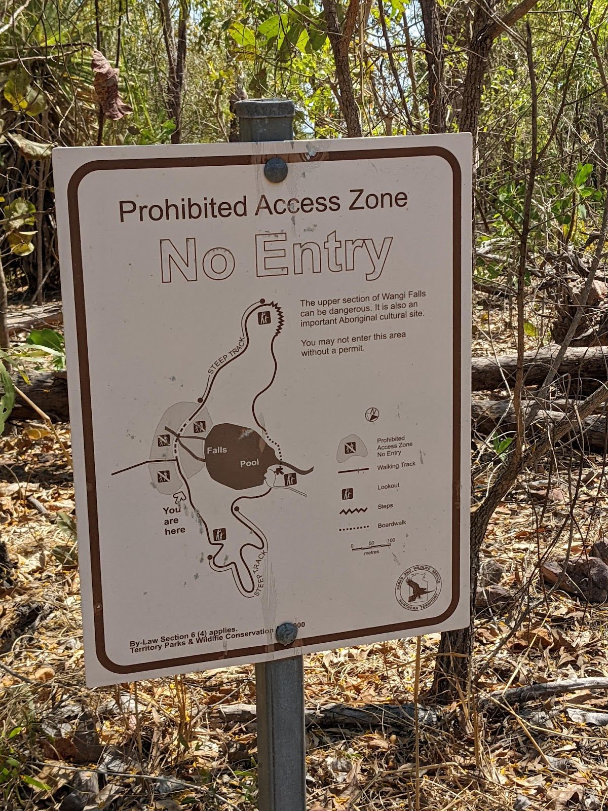
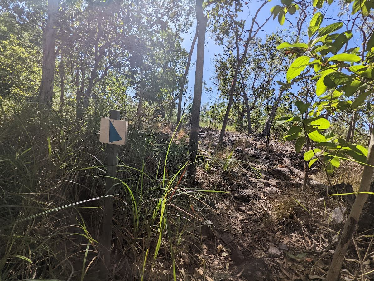
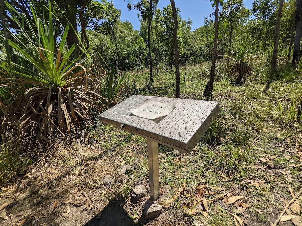
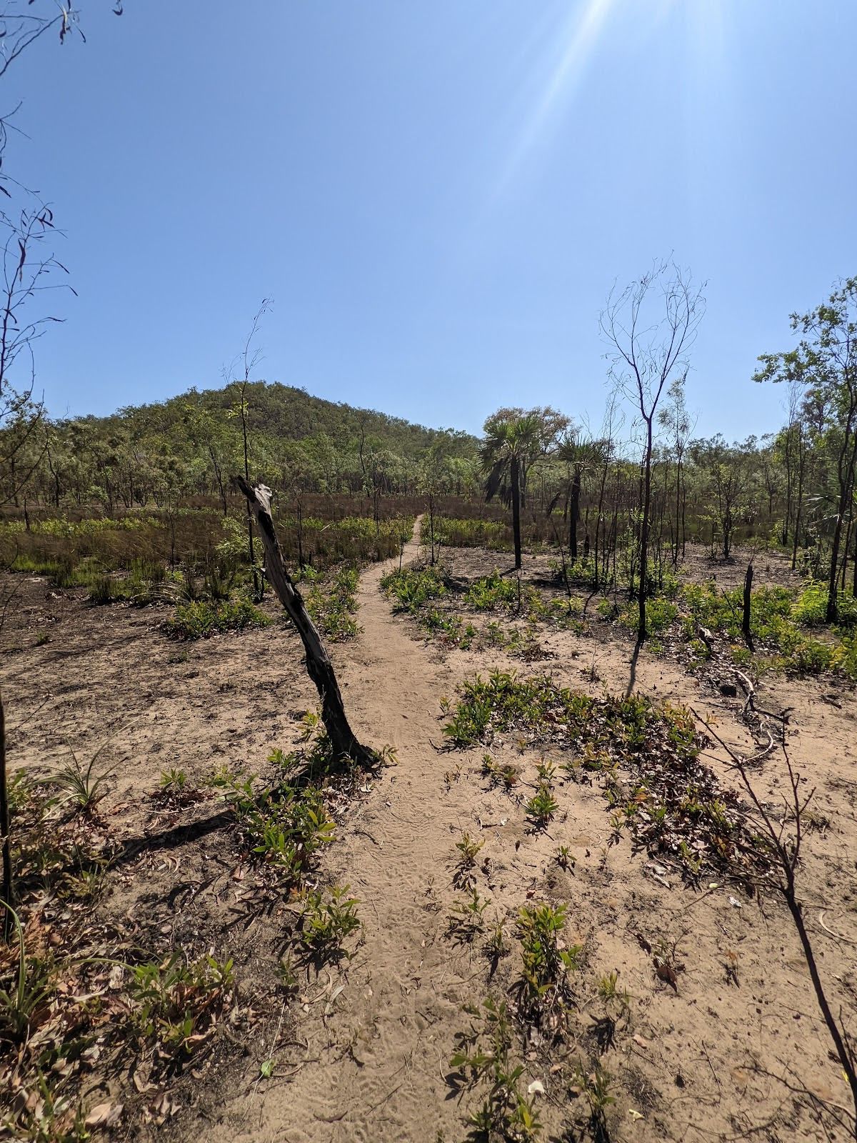
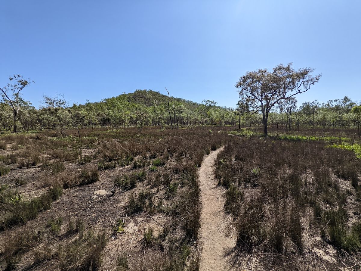
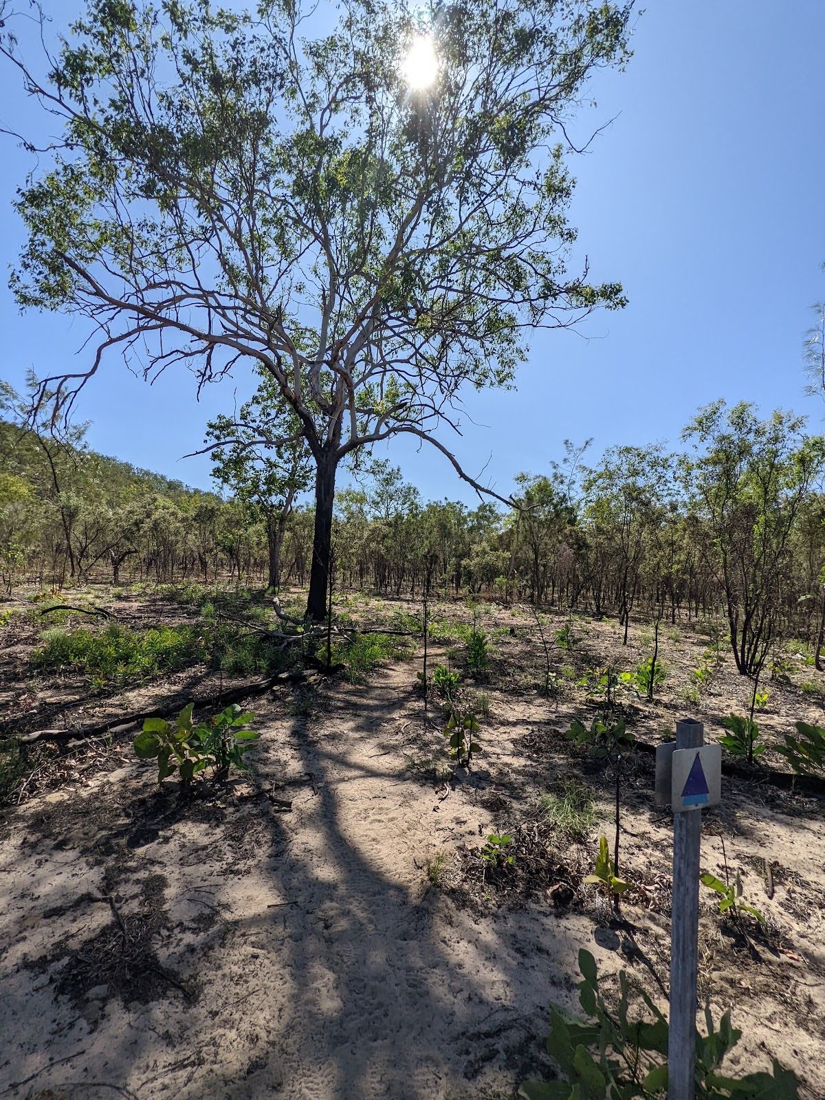
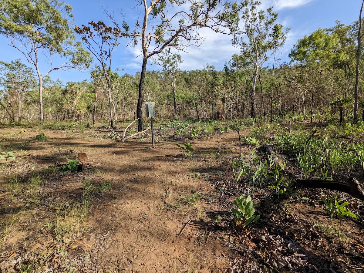
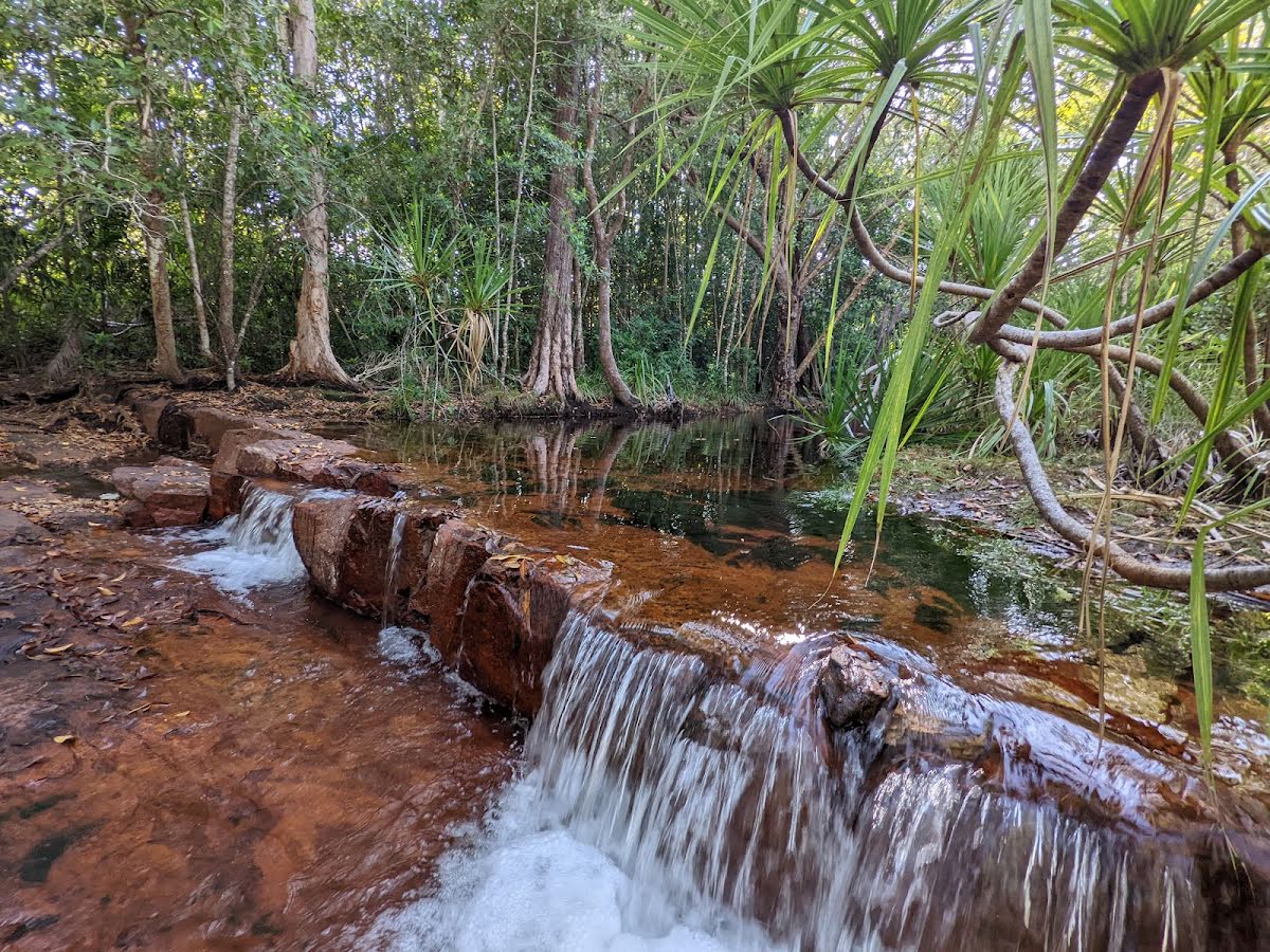
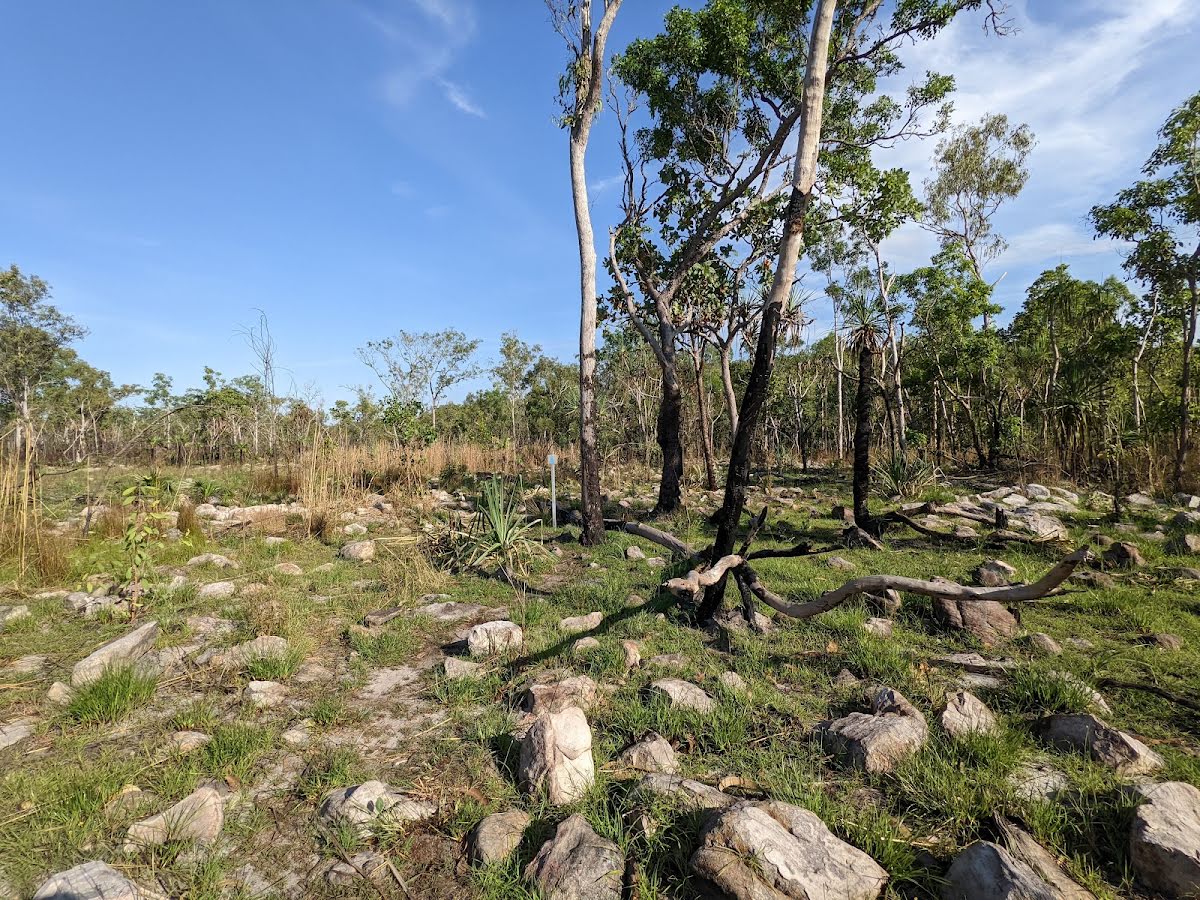
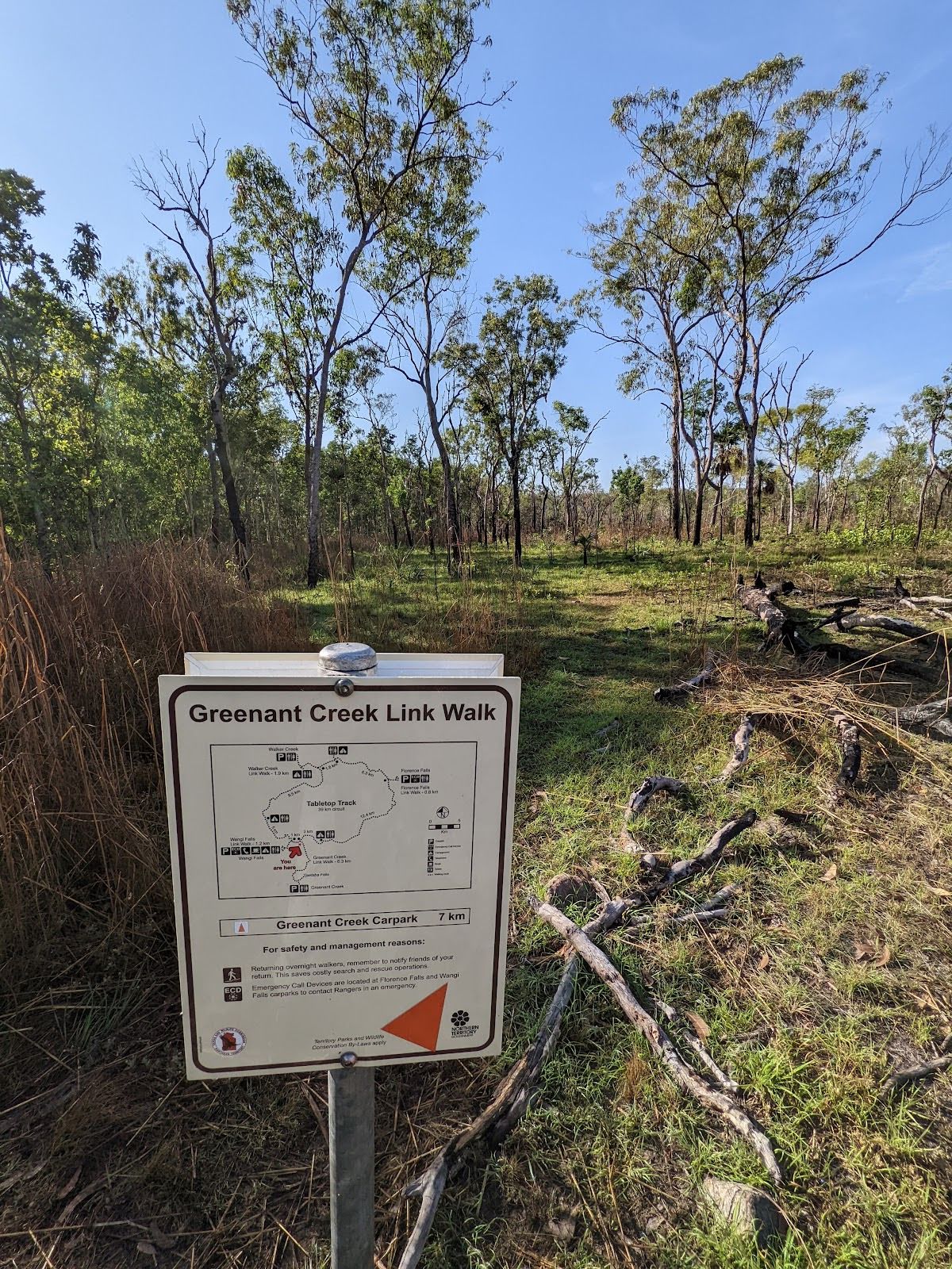
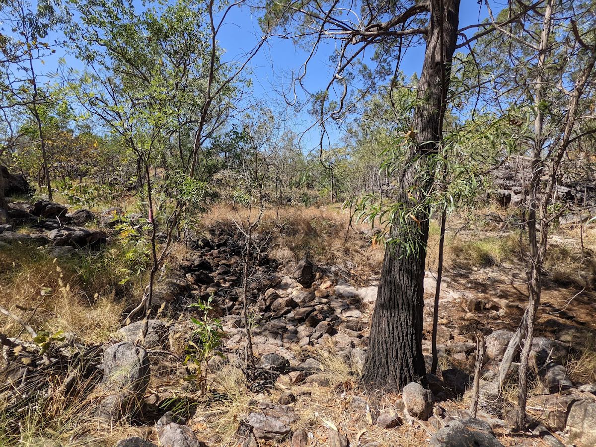
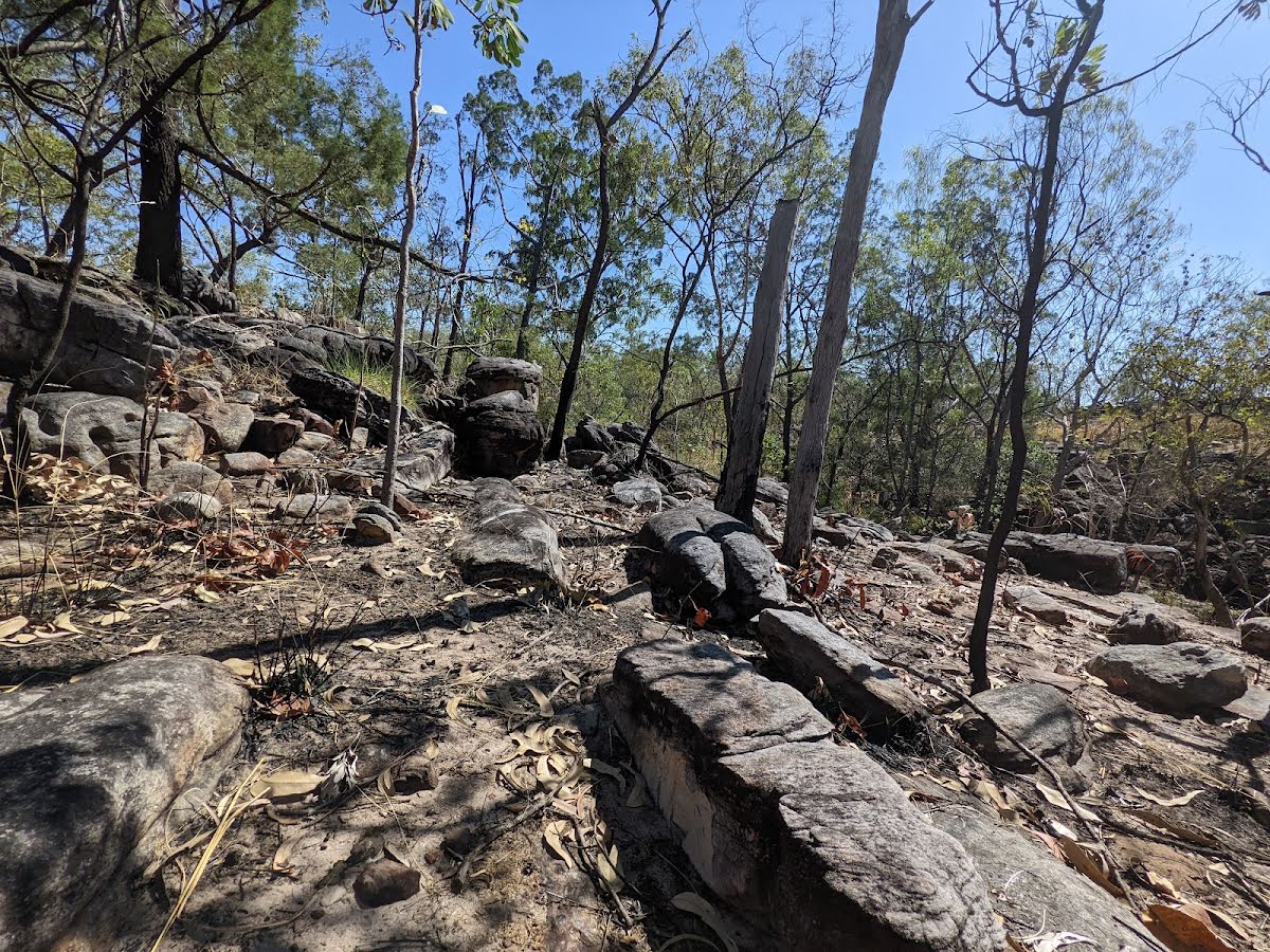
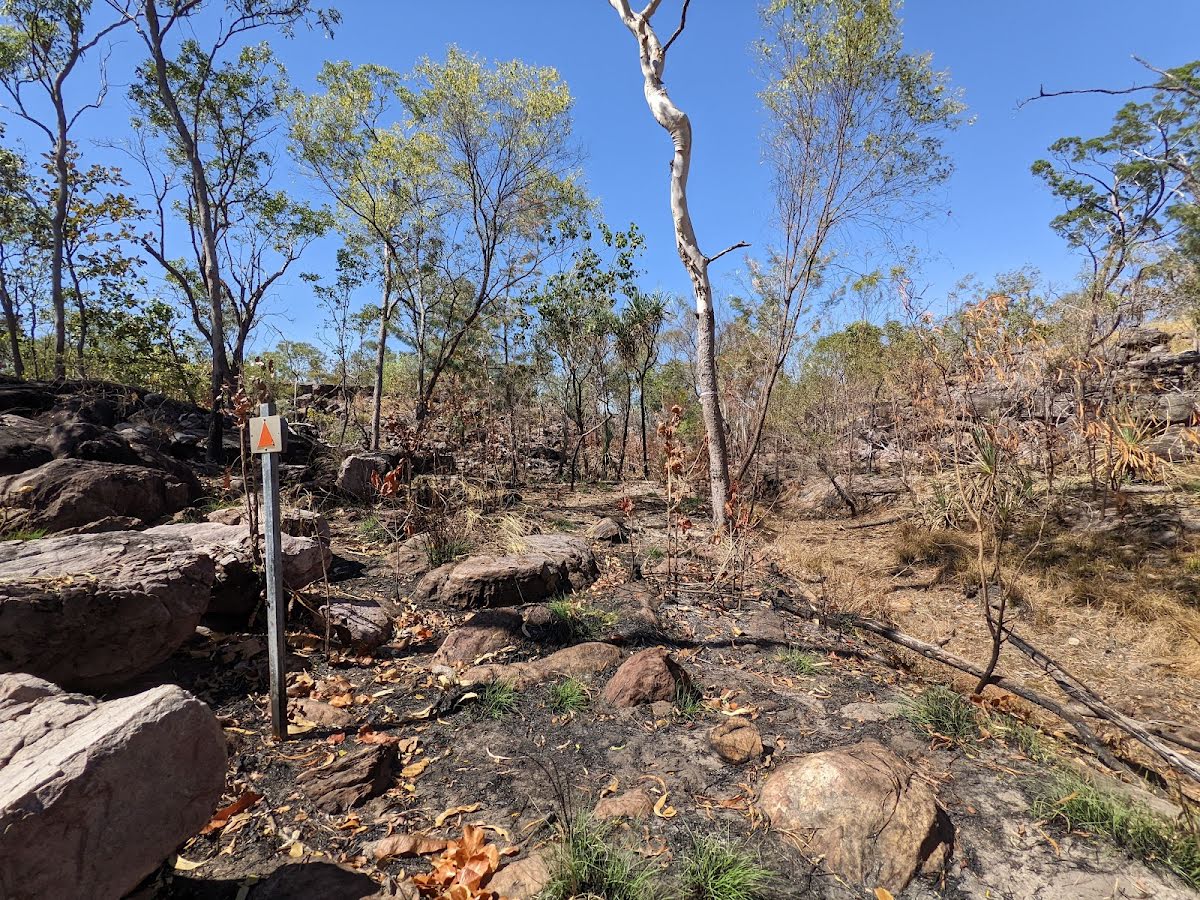
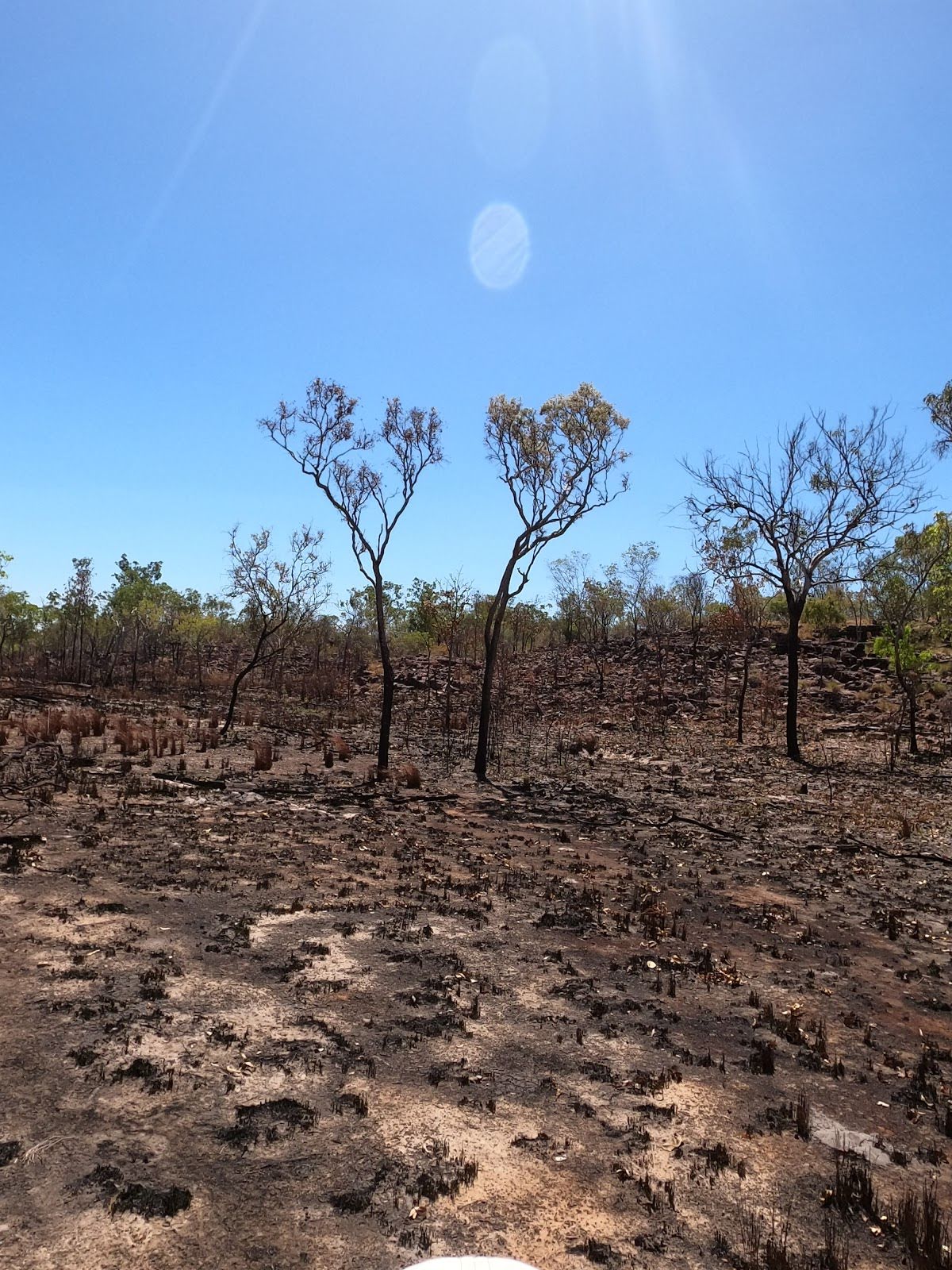
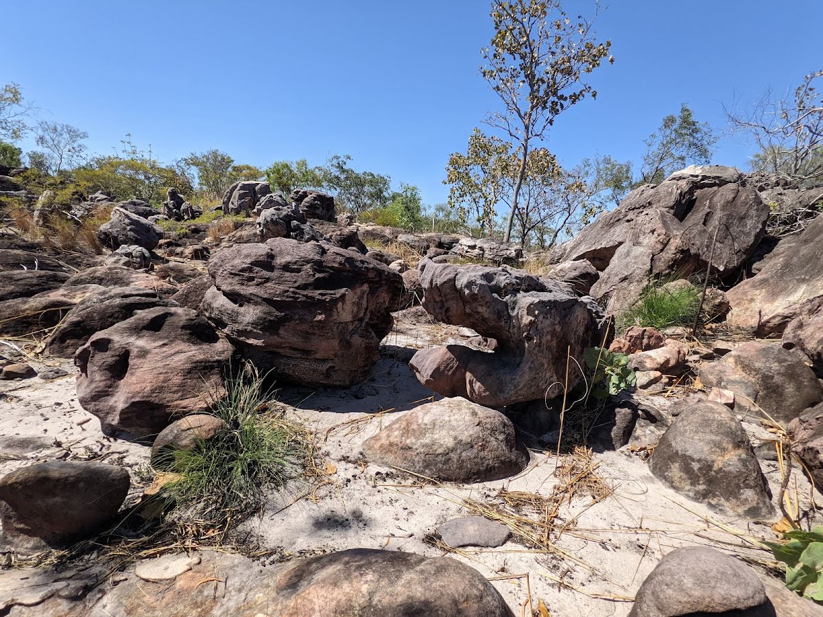
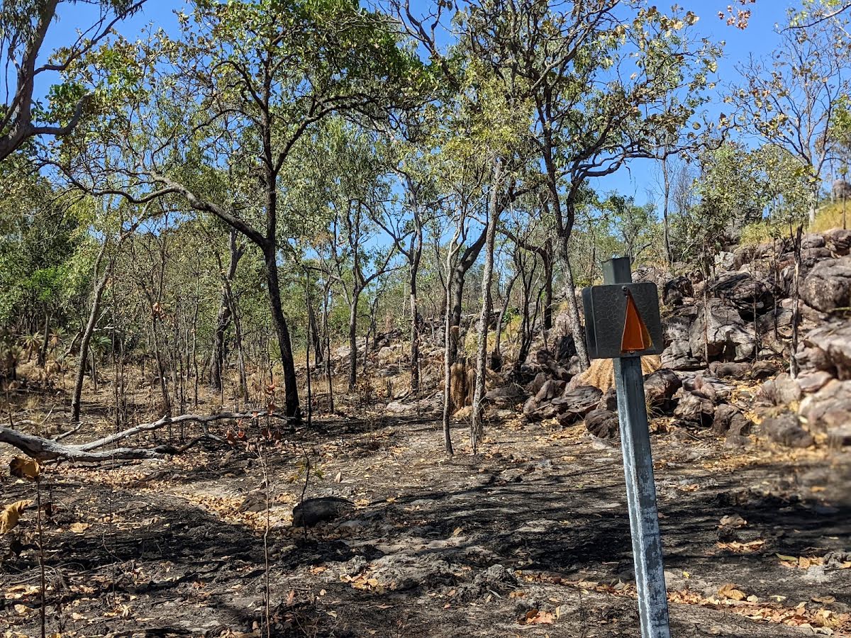
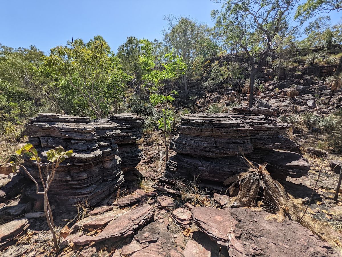
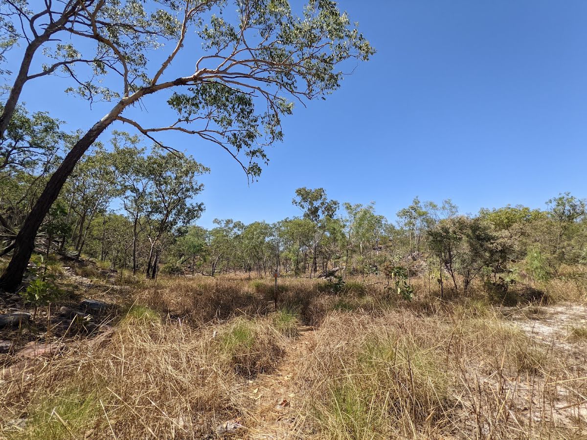
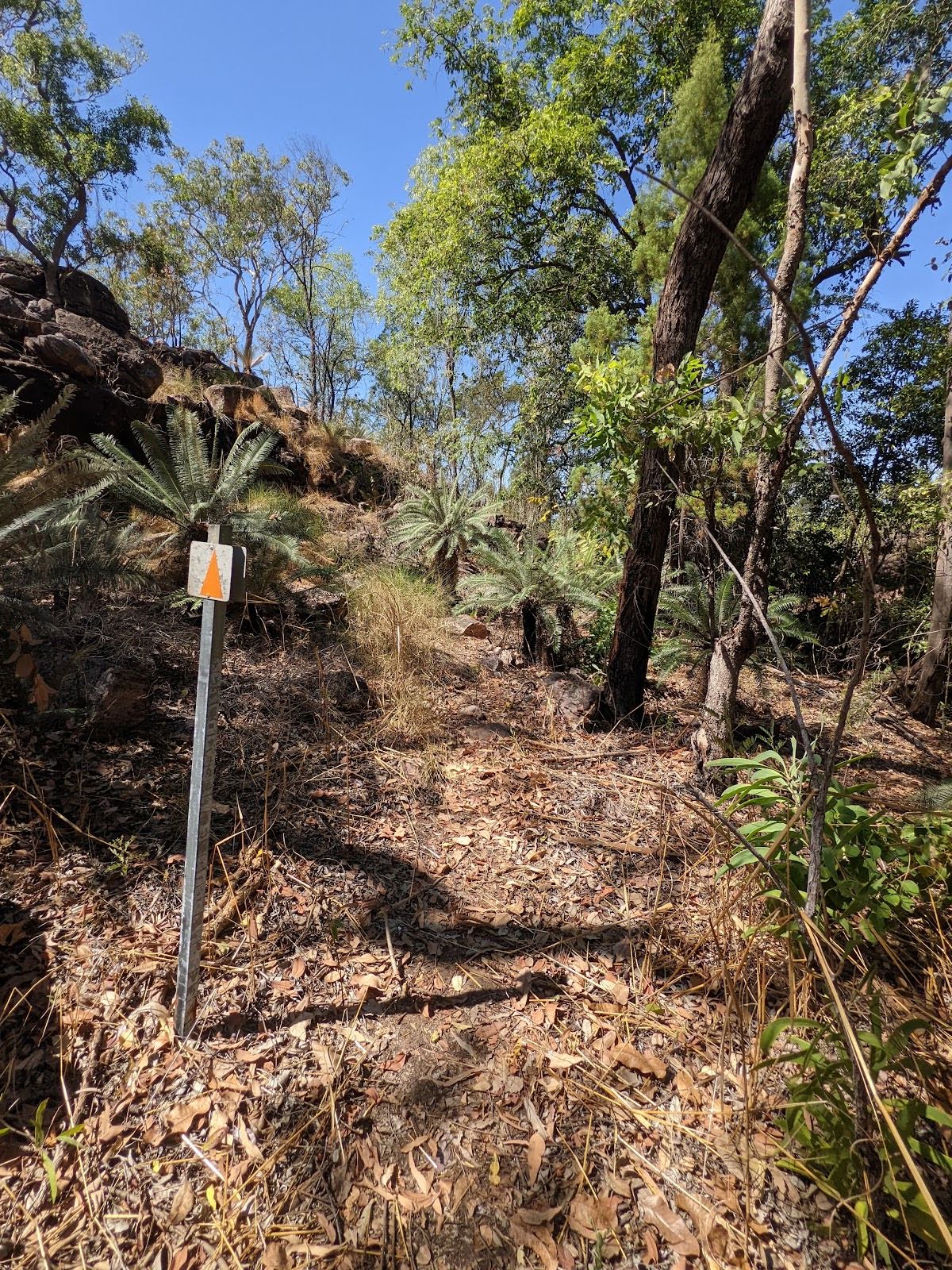
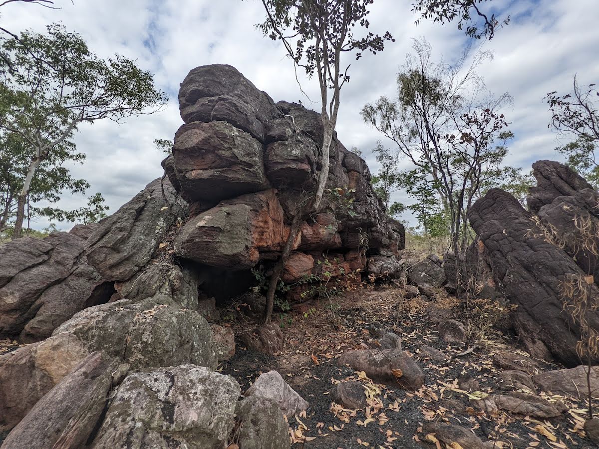
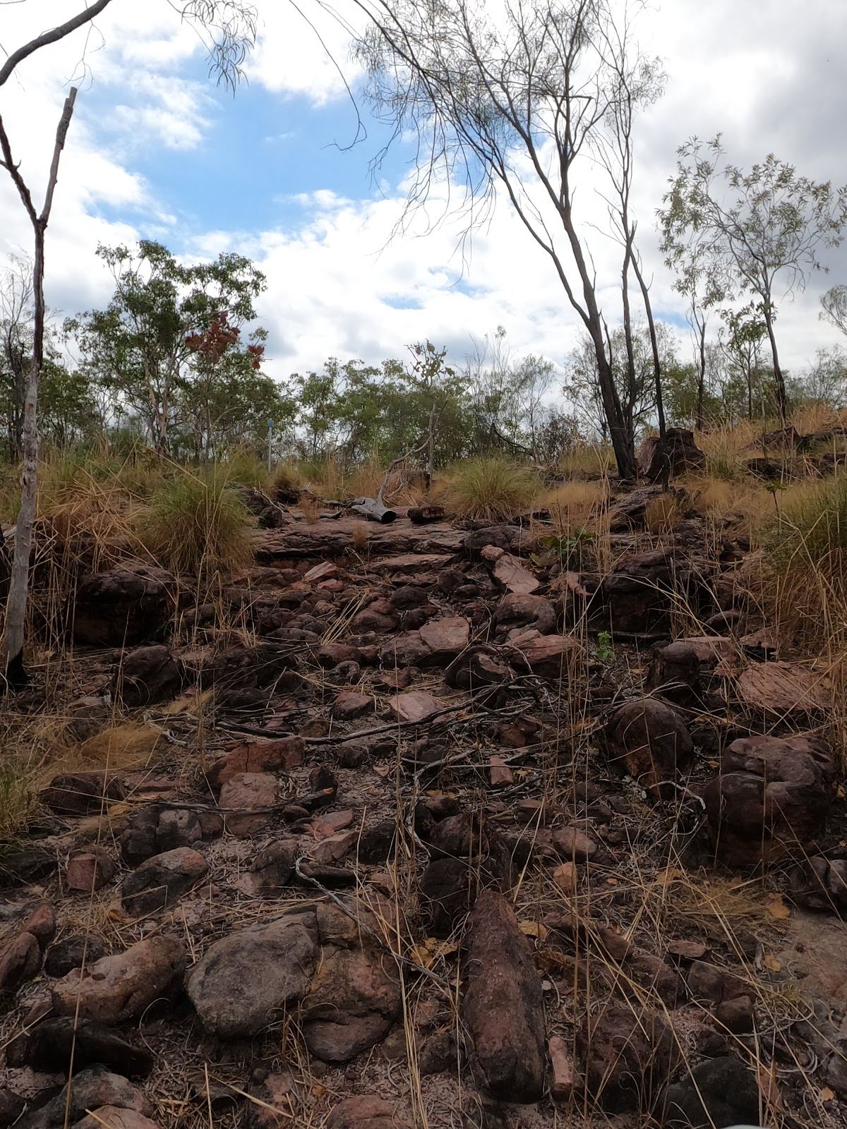
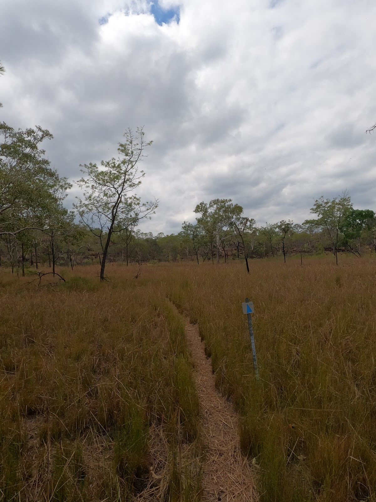
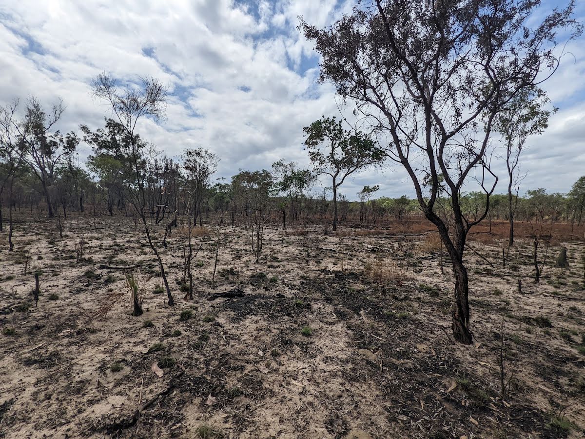
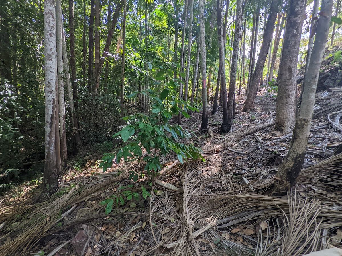
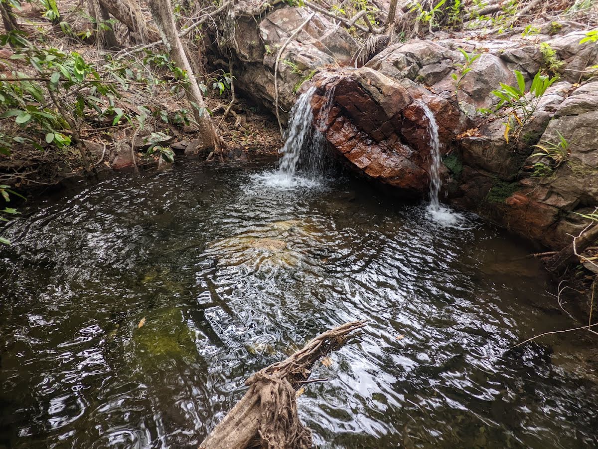
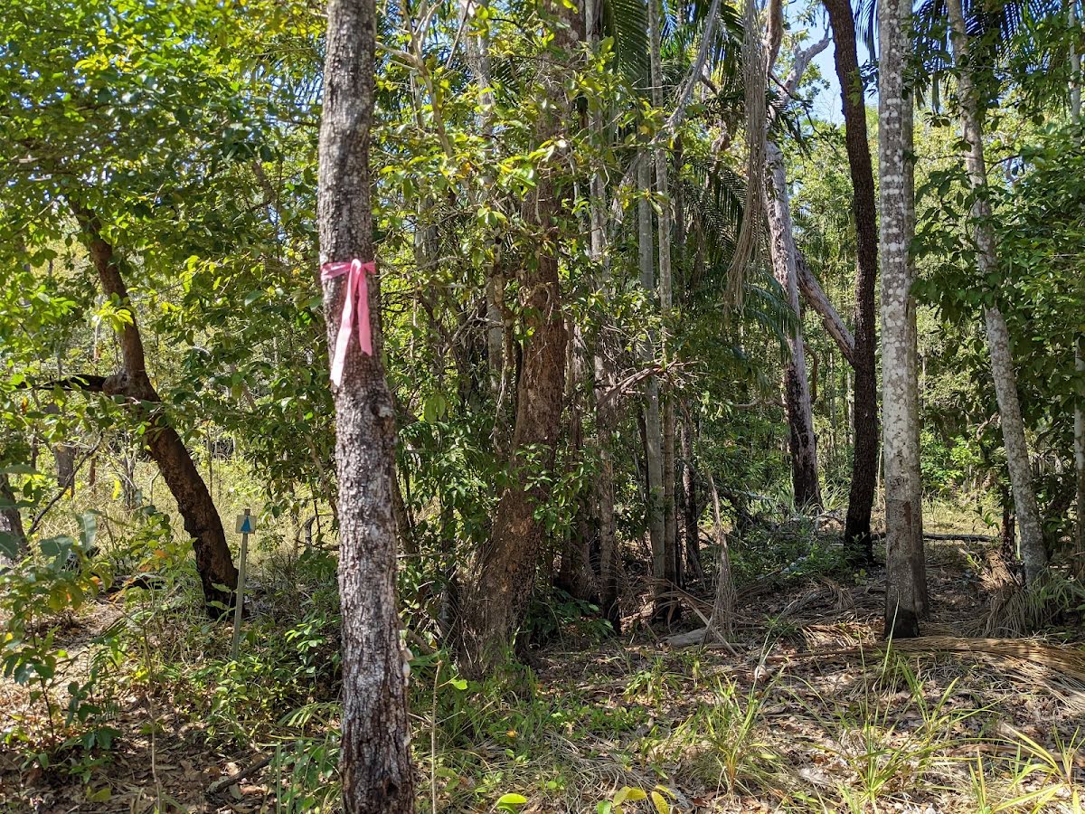
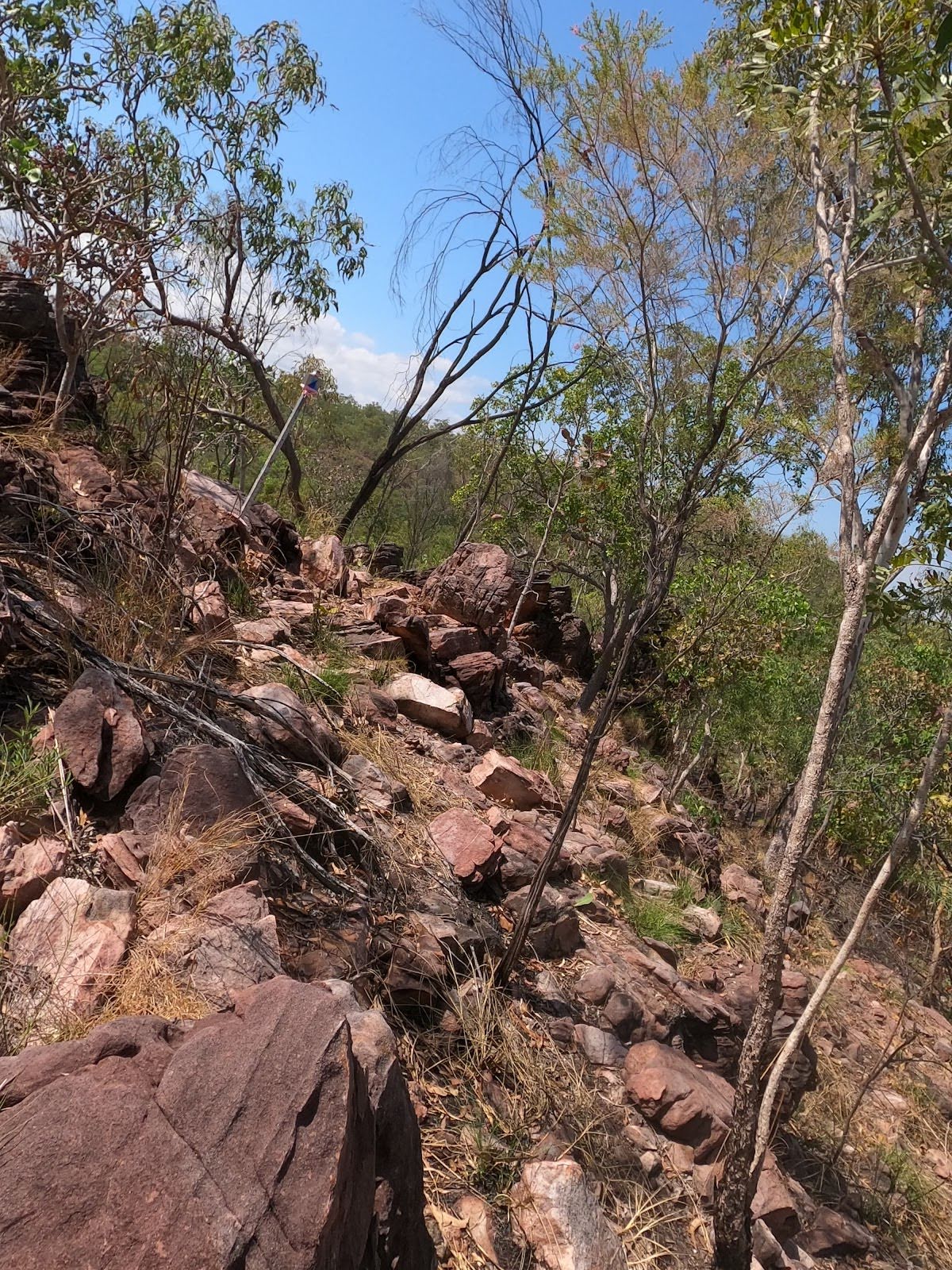
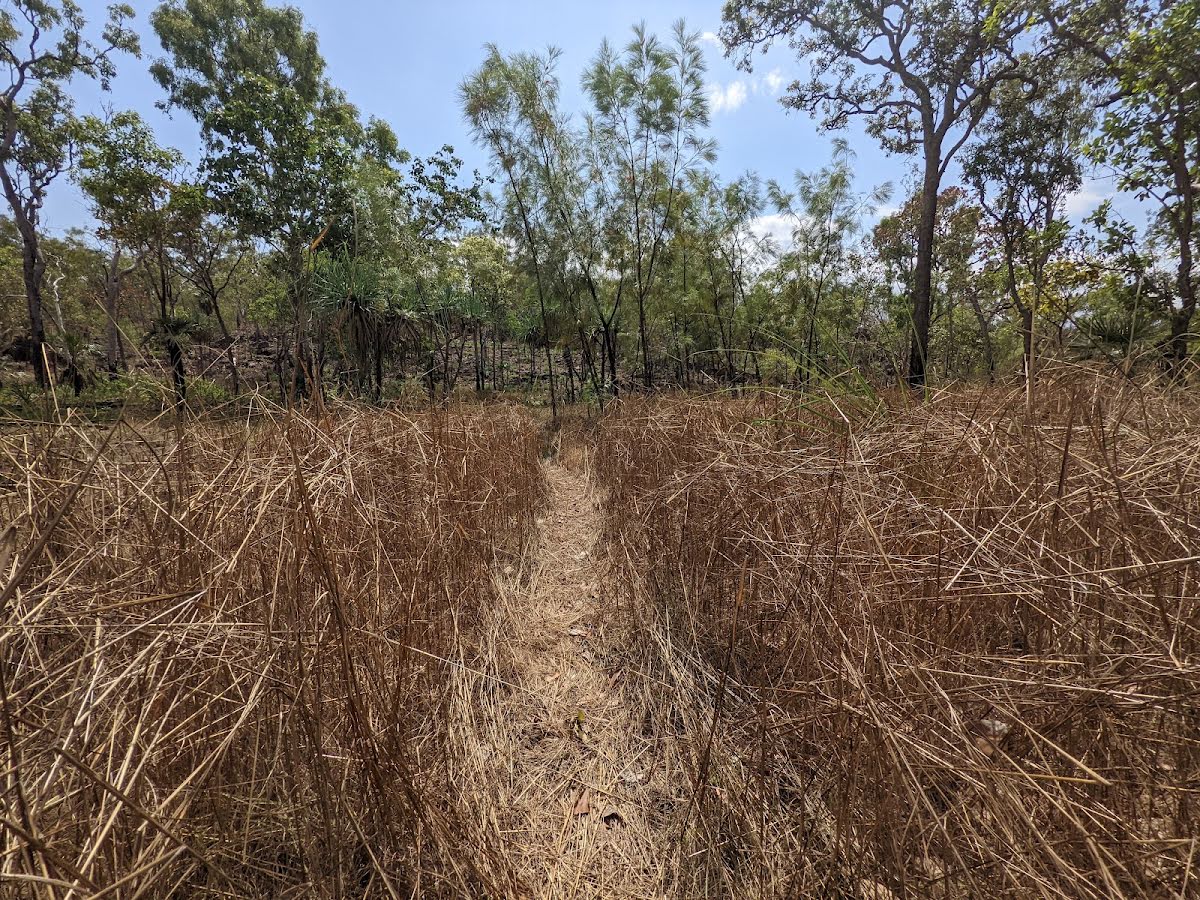
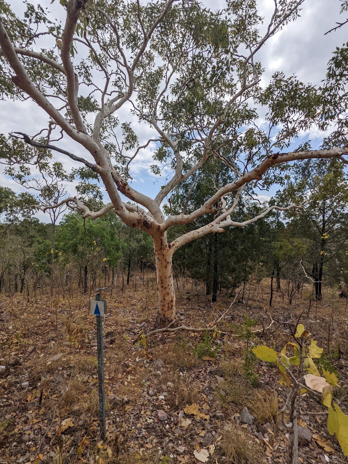
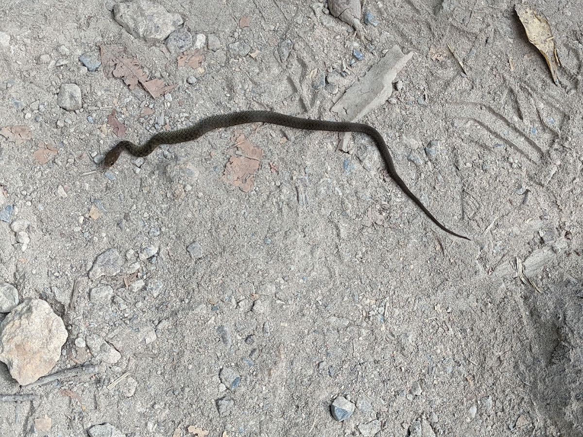
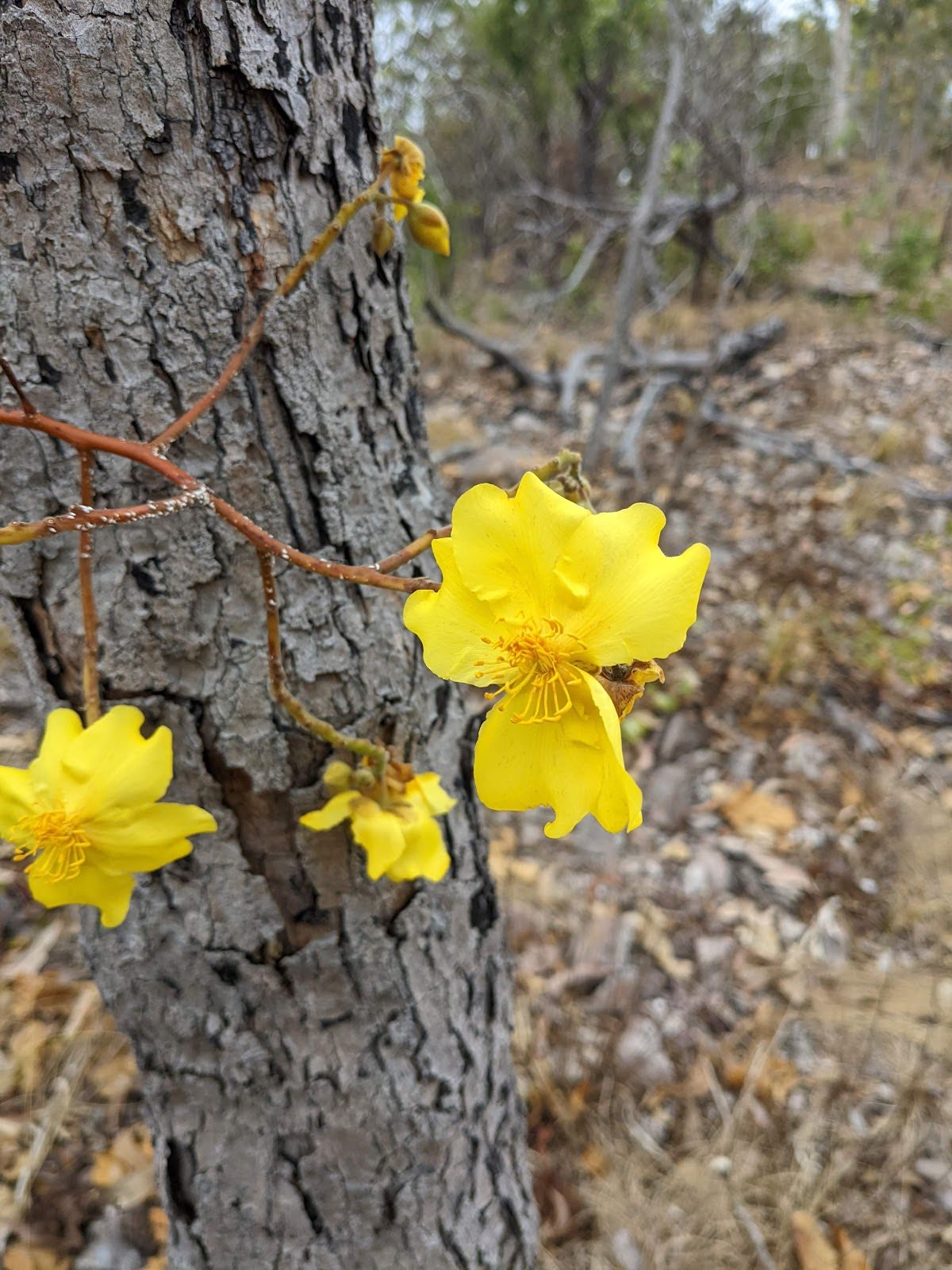
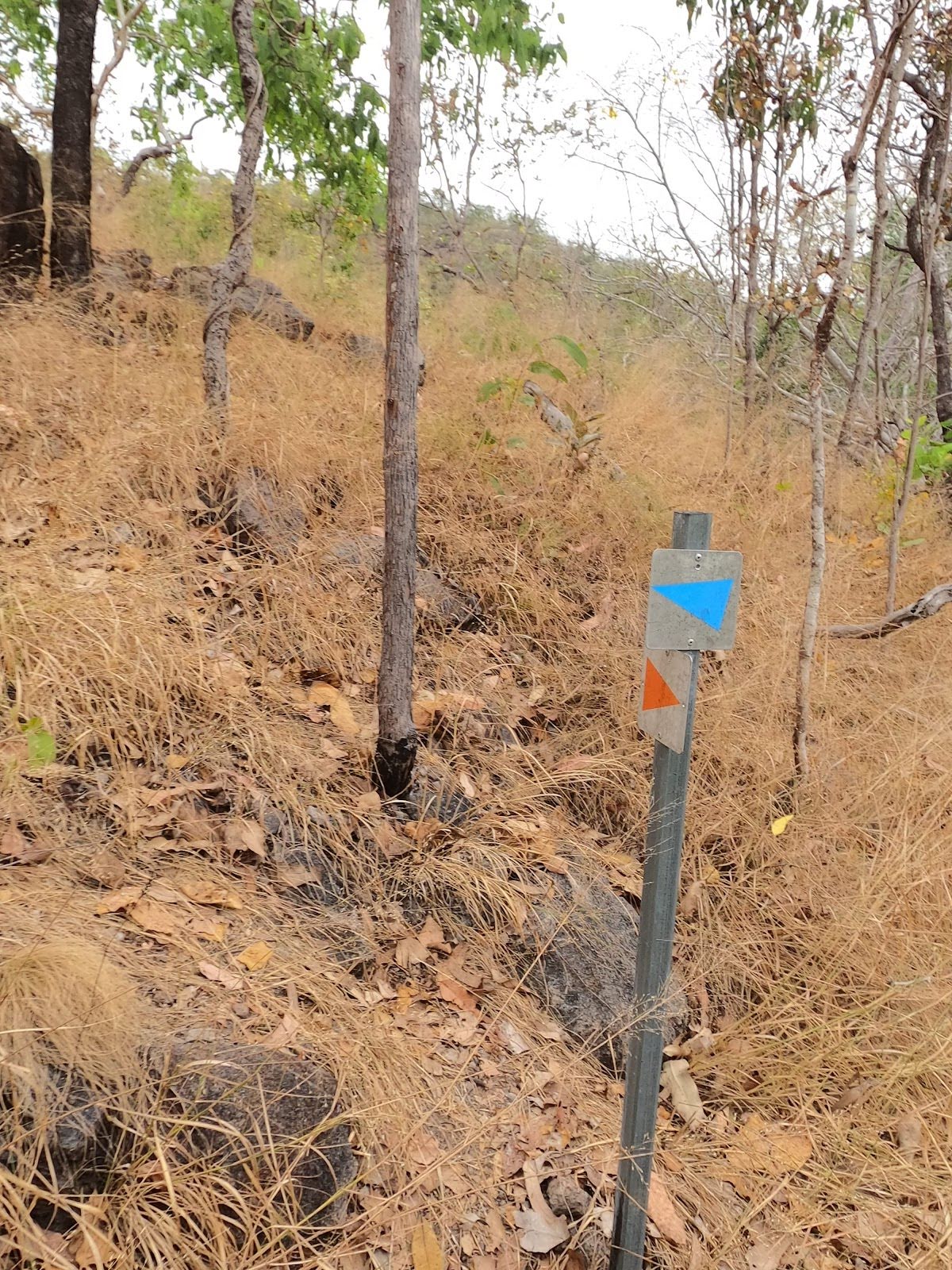
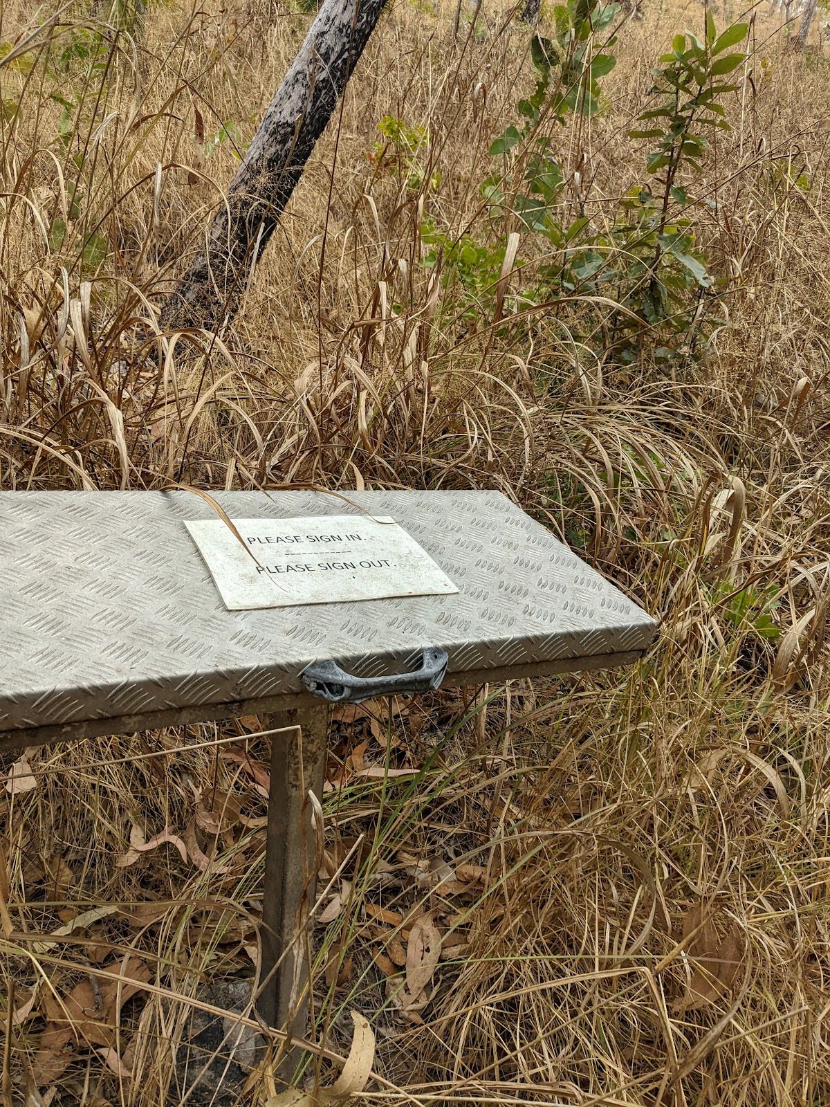
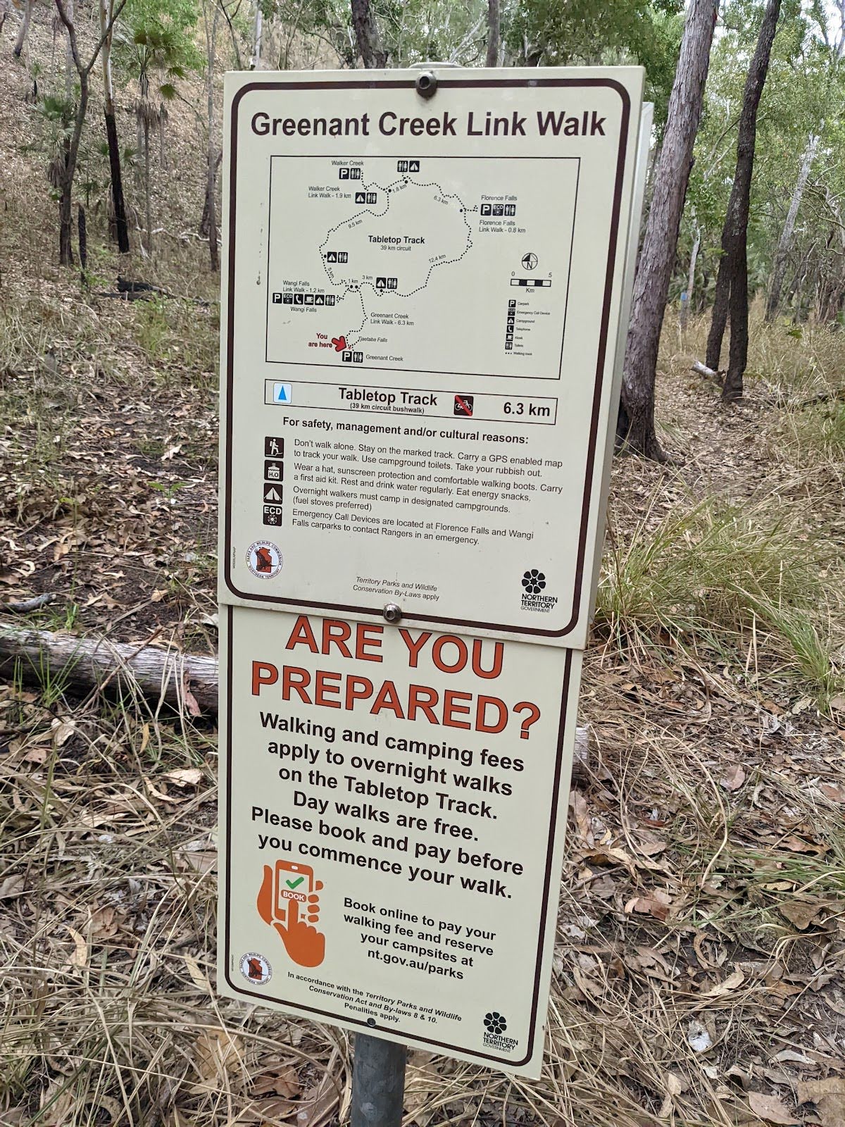
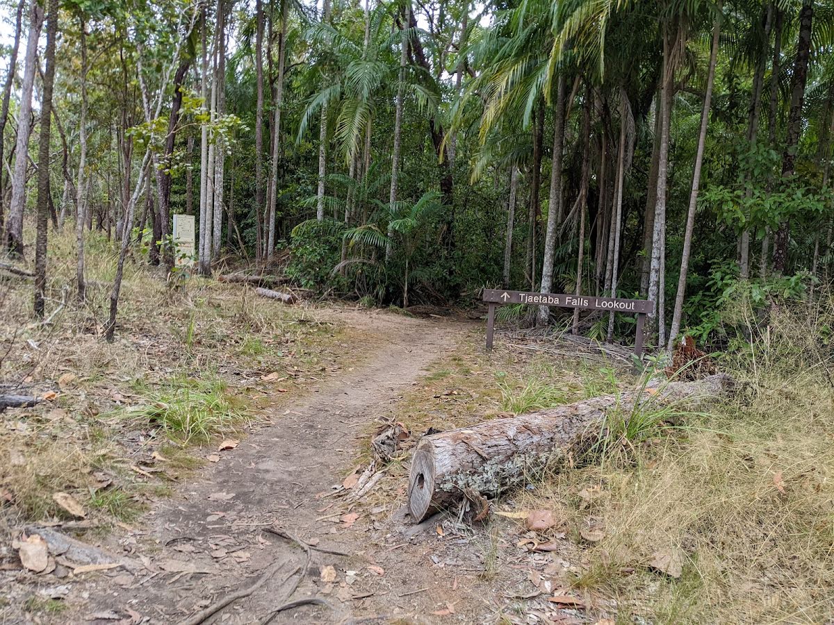
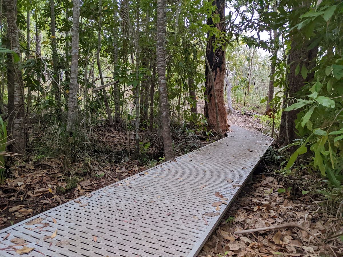
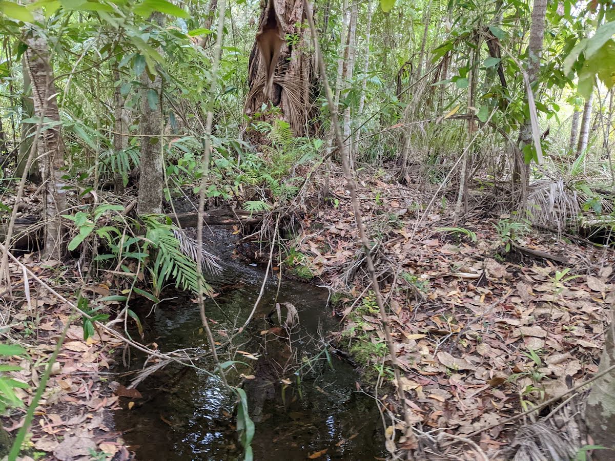
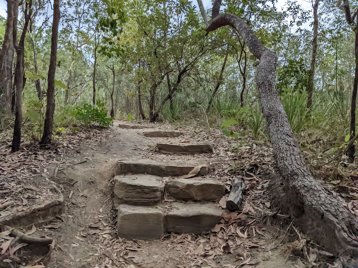
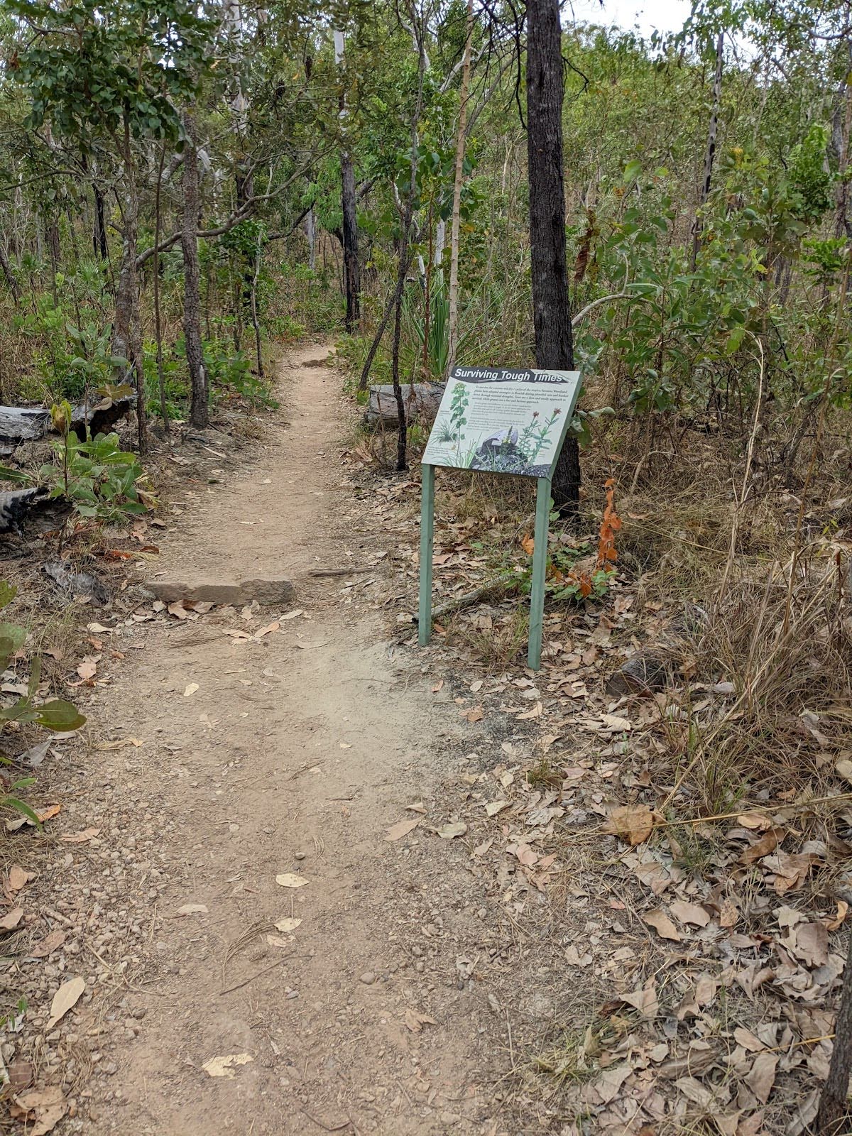
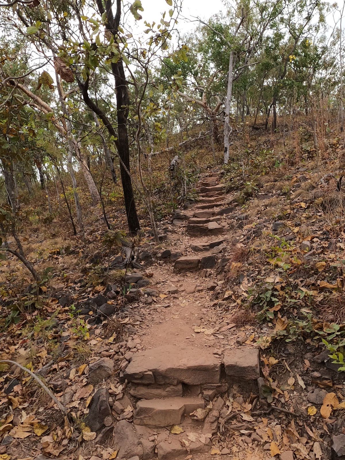
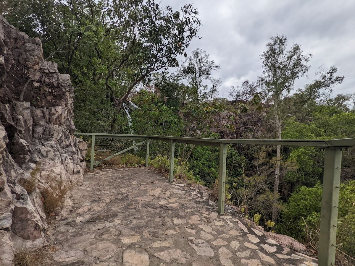
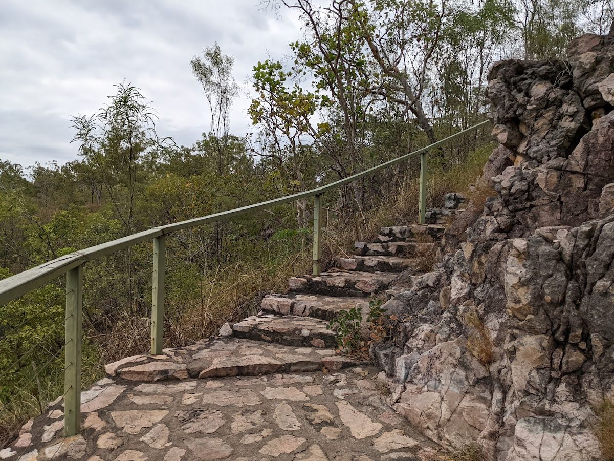
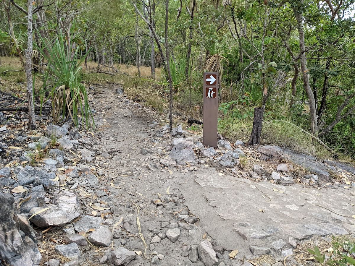
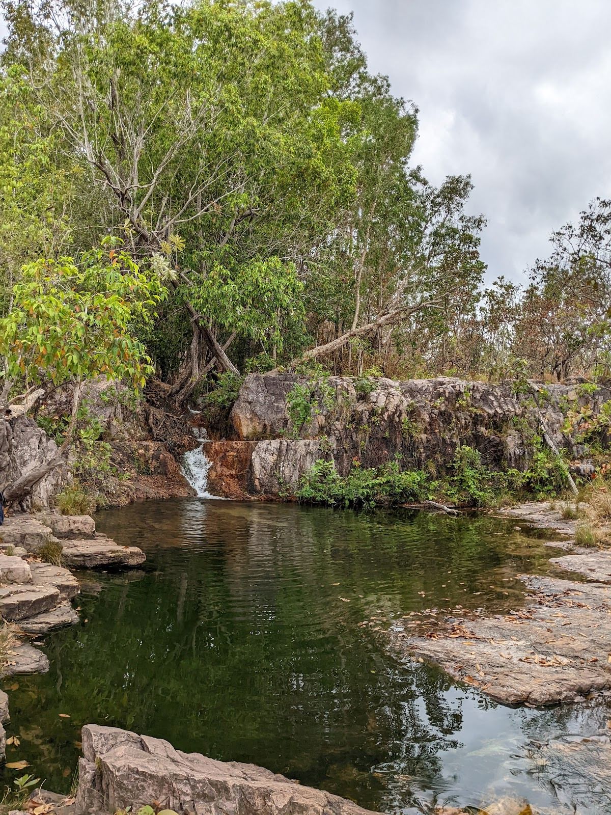
Tjaetaba Falls via Greenant Creek is a return walk starting from the Wangi Falls Campground car park. Enjoy the natural landscape and the views of the waterfall. There is a deep swimming hole just before the upper lip of the 25-metre waterfall. The best time to visit is in the early Dry Season for healthy flow and relatively safe swimming. There is one toilet along the way, and you can stop at the Wangi Falls Kiosk for a bite to eat. There is a much shorter (2.7 km return) track to get to these falls from the south, which is considered the primary way to get to them. If you're not a Northern Territory resident, you need a park pass to enjoy the falls. Due to cultural reasons, swimming is prohibited at the base of the falls. Let us begin by acknowledging the Traditional Custodians of the land on which we travel today, and pay our respects to their Elders past and present.
Some of the information and maps on this page was generated using data from the awesome
© OpenStreetMap contributors.
Please see how you can
embed some widgets, access data and other stuff to that might be helpful.