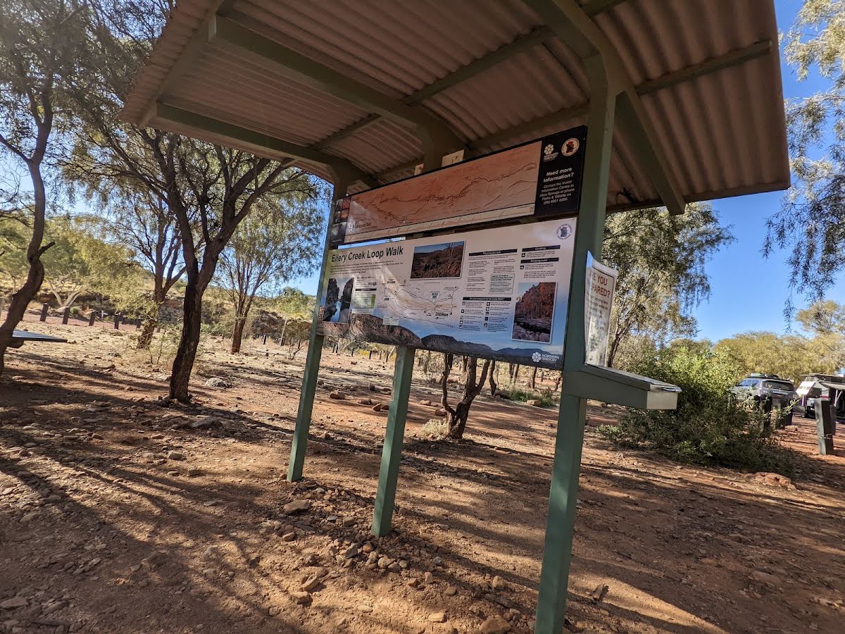

| Start | From the Larapinta Trail Section 7 (near the Larapinta Trail Information information) (-23.7798449,133.0726859) |
| Mode | Car |
| Directions | From Stuart Highway, Alice Springs.
|
| Turn map | Directions & comments |
|---|---|
 |
|
 |
|
 |
|
 |
|
 |
|
 |
|
 |
|
 |
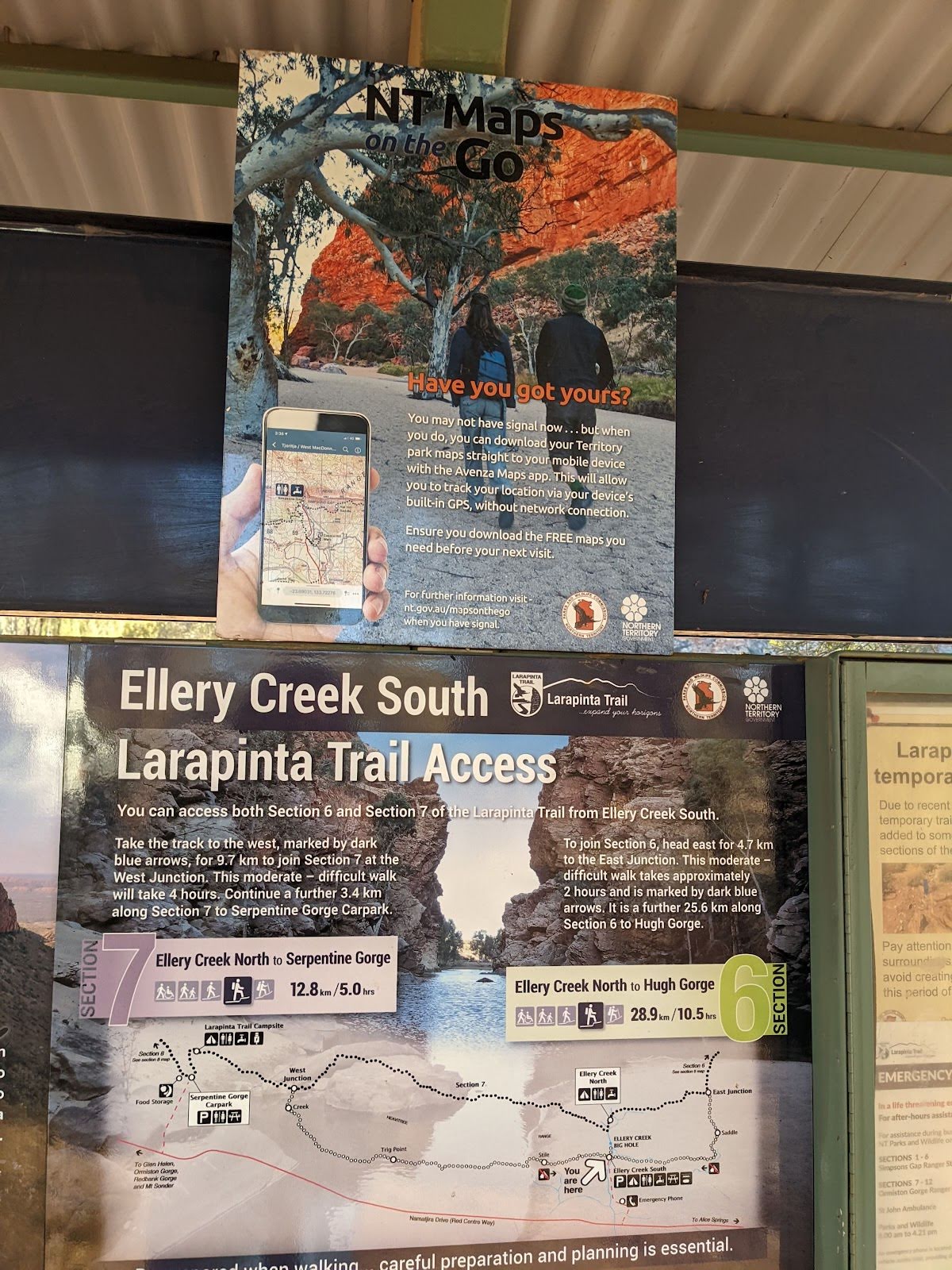
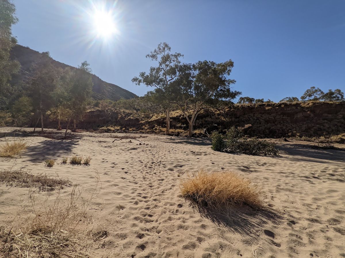
The starting point of an optional sidetrip. This little side trip takes you to the Big Hole along Ellery Creek. This ancient waterhole is an exceptional spot to take a break and cool off. To start this optional side trip continue straight here. On returning from this side trip error >360 when you get back to this intersection. Details below.
|
| Turn map | Directions & comments |
|---|---|
 |
|
 |
|
 |

|
|
Class 3/6 Moderate track |
|---|---|
| Length | 2.6 km |
| Time | 45 min to 1 h 15 min |
| Quality of track | Formed track, with some branches and other obstacles (3/6) |
| Gradient | Gentle hills with occasional steps (2/6) |
| Signage | Directional signs along the way (3/6) |
| Infrastructure | Generally useful facilities (such as fenced cliffs and seats) (2/6) |
| Experience Required | Some bushwalking experience recommended (3/6) |
| Weather | Weather generally has little impact on safety (2/6) |
| Item | From Start | Name & link to notes |
|---|---|---|
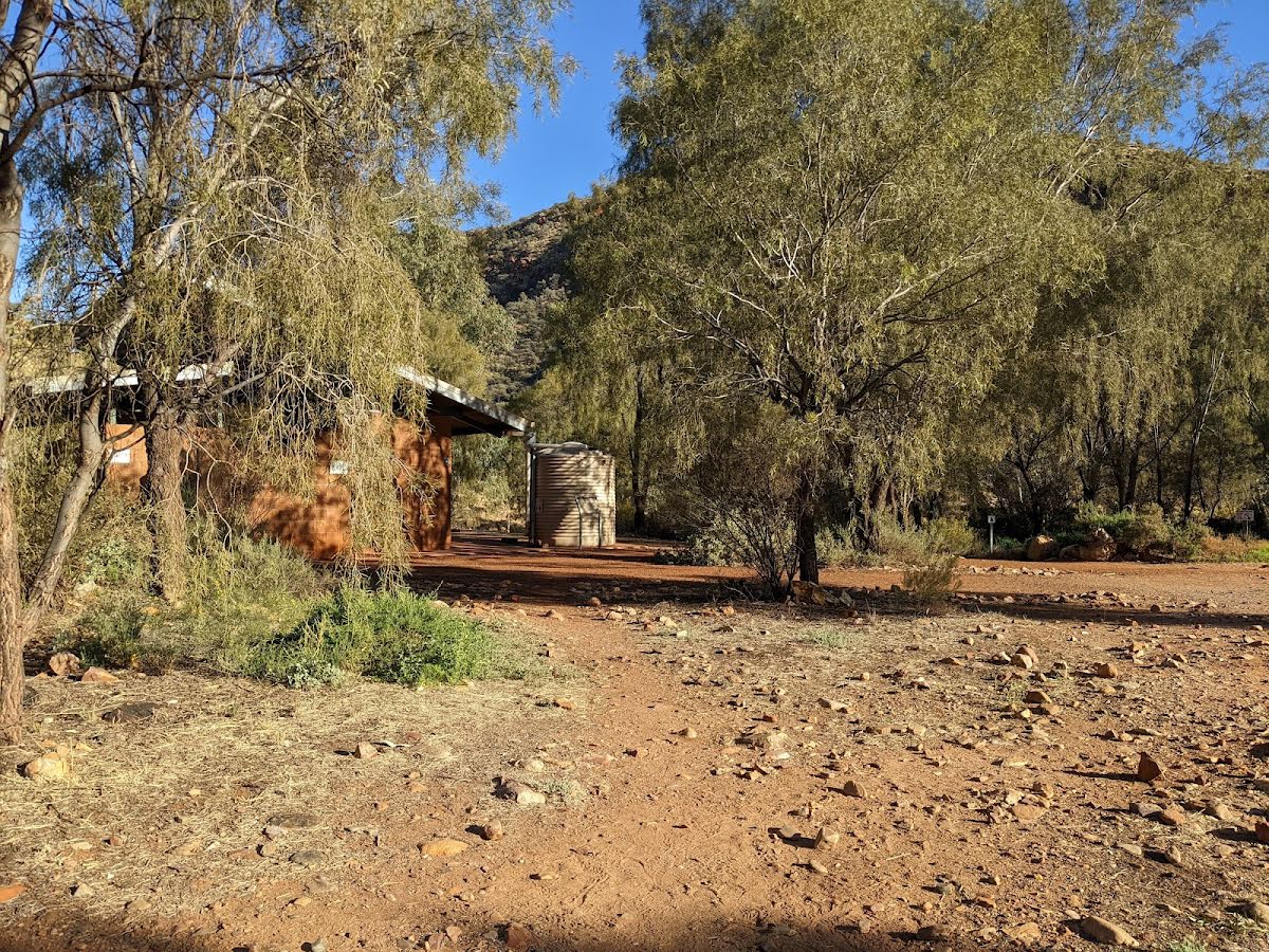
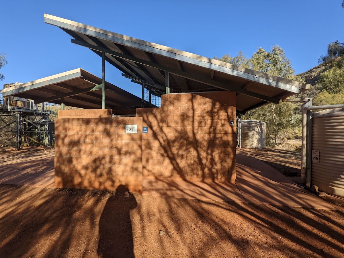
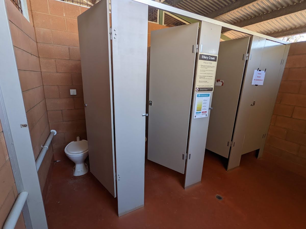
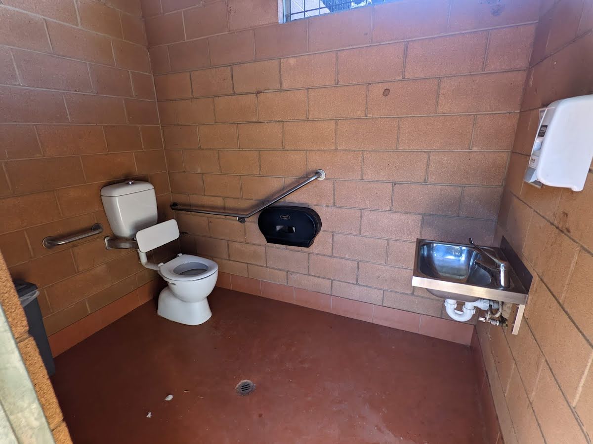
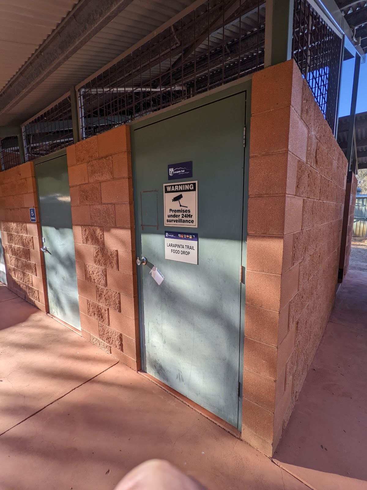
Toilet
| 40 m | [toilet] |
Camp site
| 2.6 km | Ellery Creek Big Hole - West MacDonnell NP |
Camp site
| 2.6 km | [camp site] |
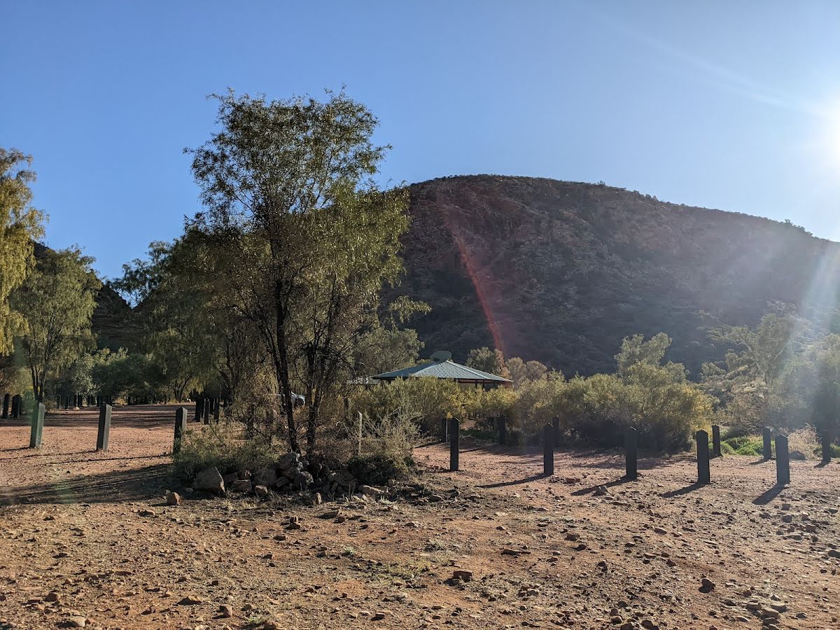
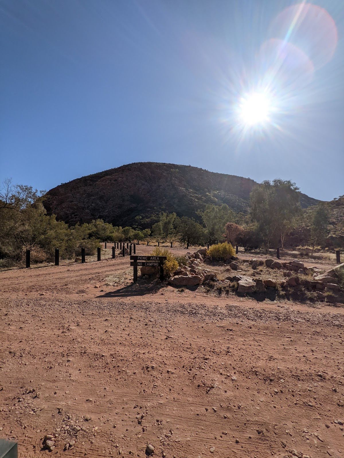
Shelter
| 2.6 km + 75 m | Picnic Shelter |
Shelter
| 2.6 km + 110 m | [shelter] |