Every year, my colleagues and I collate a vast number of measurements made by satellites, field sensors and people. We process the data and combine them into a consistent picture of the state of our environment.
Our 2019 report documented a disaster year of record heat, drought, and bushfires. We repeated the analysis after the first half of 2020, keen to see how our environment was recovering.
It’s not all good news. But encouragingly, our results show most of the country has started to bounce back from drought and fire. Here are four ways that’s happening.
1. RainWhether a region is in drought depends on the measure used: rainfall, river flows, reservoir storage, soil water availability or cropping conditions. On top of that, Australia is a vast country with large differences between regions.
By most measures, and for most of the country, wetter weather in 2020 helped ease drought conditions – although with caveats and notable exceptions.
Halfway through January, rain-blocking conditions in the Indian Ocean finally relented. This allowed the long-awaited monsoon to reach northern Australia, and encouraged more rainfall across the rest of the continent. February and March brought much needed rains in southeast Australia.
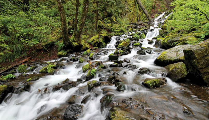
2. Water availabilityAcross the continent, the volume of water flowing into rivers in the first half of 2020 was almost four times greater than the previous year – although still below average. Good rains fell in the northern Murray-Darling Basin. Some made it into the town and irrigation water supplies that ran empty during the drought, and storage levels showed a modest improvement by the end of June to 17% of capacity.
The flows were also enough to fill wetlands such as Narran Lakes and the Paroo and Bulloo River wetlands, west of Bourke. There were enough flood waters left to send a modest flood pulse down the Darling River in March for the first time since 2016.
Reservoir water storage across the entire the Murray-Darling Basin improved from 36% of capacity at the end of June 2019 to 44% a year later. Even so, by June 2020 dry conditions still persisted in the tributaries and wetlands of the middle and southern Murray-Darling Basin.
Storage in urban water supply systems increased for Sydney (52% to 81%) and Melbourne (50% to 64%) while remaining stable for Brisbane (66%), Canberra (55%) and Perth (41%).
Meanwhile, lake and wetland extent across much of Western Australia remained at record or near-record low levels. Due to the poor northern monsoon, Lake Argyle – the massive dam lake supplying the Ord irrigation scheme in northern Australia – shrank to 38% of capacity, a level not seen for several decades.
3. Soil moistureSoil moisture acts like a bank account: rainfall makes deposits and plant roots make withdrawals. This makes soil moisture a useful measure of drought condition.Average soil water availability across the country was far below average at the start of 2020, but returned closer to average conditions from March 2020 onwards. Very to extremely low soil water availability across most of northwest and southeast Australia had eased by June 2020.
By the end of June, rains had also improved growing conditions in southeast Queensland, western New South Wales, Victoria and South Australia. However, recovery in these regions is, literally, shallow. Soil water remains low in the deeper soil layers and groundwater from which trees and other drought-tolerant vegetation draw their water. Drought conditions also persist in the dry inland of Australia.
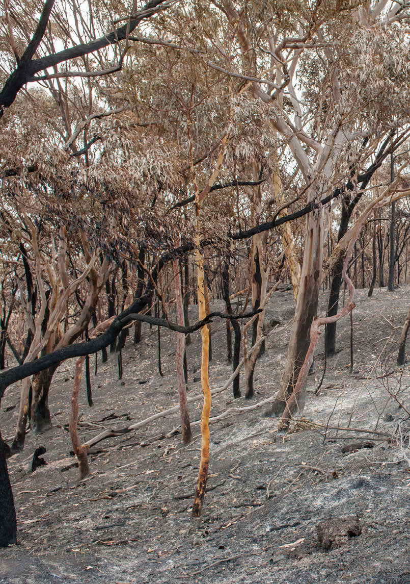
4. Vegetation growthVegetation condition is measured by estimating leaf area from satellite observations. National leaf area reached its lowest value in December 2019 due to drought and bushfires, but improved once the rains returned from February onwards. It’s remained very close to average since.